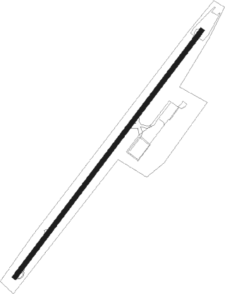
Yamoussoukro
Airport details
| Country | Ivory Coast |
| State | Yamoussoukro |
| Region | DI |
| Airspace | Dakar Ctr |
| Elevation | 699ft (213m) |
| Timezone | GMT +0 |
| Coordinates | 6.90578, -5.36376 |
| Magnetic var | |
| Type | land |
| Available since | X-Plane v10.40 |
| ICAO code | DIYO |
| IATA code | ASK |
| FAA code | n/a |
Communication
| Yamoussoukro Tower | 118.500 |
Approach frequencies
| ILS-cat-I | RW05 | 109.5 | 18.00mi |
| 3° GS | RW05 | 109.5 | 18.00mi |
Nearby beacons
| code | identifier | dist | bearing | frequency |
|---|---|---|---|---|
| YAM | YAMOUSSOUKRO VOR/DME | 1.3 | 222° | 115.80 |
| BKY | BOUAKE VOR/DME | 53.3 | 19° | 115.10 |
Instrument approach procedures
| runway | airway (heading) | route (dist, bearing) |
|---|---|---|
| RW05 | DIGDA (20°) | DIGDA 3300ft POKNO (5mi, 312°) 3300ft YO501 (5mi, 42°) 2700ft |
| RW05 | MOPEB (64°) | MOPEB 3600ft POKNO (5mi, 132°) 3300ft YO501 (5mi, 42°) 2700ft |
| RW05 | POKNO (42°) | POKNO 3300ft YO501 (5mi, 42°) 2700ft |
| RNAV | YO501 2700ft DIYO (7mi, 42°) 700ft YO502 (4mi, 42°) MOPEB (17mi, 239°) 3600ft | |
| RW23 | AMDEX (245°) | AMDEX 3200ft BUNKA (5mi, 312°) 2700ft YO503 (5mi, 222°) 2700ft |
| RW23 | BUNKA (222°) | BUNKA 2700ft YO503 (5mi, 222°) 2700ft |
| RW23 | GAGIK (199°) | GAGIK 3200ft BUNKA (5mi, 132°) 2700ft YO503 (5mi, 222°) 2700ft |
| RNAV | YO503 2700ft DIYO (7mi, 222°) 745ft YO504 (4mi, 222°) GAGIK (17mi, 24°) 3200ft |
Disclaimer
The information on this website is not for real aviation. Use this data with the X-Plane flight simulator only! Data taken with kind consent from X-Plane 12 source code and data files. Content is subject to change without notice.