Benin
Airport details
| Country | Nigeria |
| State | Edo State |
| Region | DN |
| Airspace | Kano Ctr |
| Municipality | Benin City |
| Elevation | 255ft (78m) |
| Timezone | GMT +1 |
| Coordinates | 6.31653, 5.59894 |
| Magnetic var | |
| Type | land |
| Available since | X-Plane v10.40 |
| ICAO code | DNBE |
| IATA code | BNI |
| FAA code | n/a |
Communication
| Benin Tower | 122.500 |
Approach frequencies
| ILS-cat-I | RW23 | 109.7 | 18.00mi |
| 3° GS | RW23 | 109.7 | 18.00mi |
Runway info
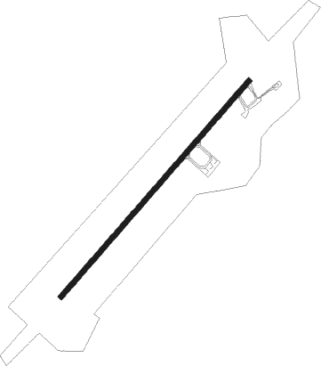
| Runway 05 / 23 | ||
| length | 2405m (7890ft) | |
| bearing | 46° / 226° | |
| width | 45m (148ft) | |
| surface | asphalt | |
| blast zone | 66m (217ft) / 66m (217ft) | |
Nearby beacons
| code | identifier | dist | bearing | frequency |
|---|---|---|---|---|
| BEN | BENIN VOR/DME | 3.1 | 231° | 116.50 |
| OS | OSUBI NDB | 44.7 | 162° | 325 |
| OSB | OSUBI VOR/DME | 44.9 | 163° | 117.10 |
| OK | OKITIPUPA NDB | 49.5 | 283° | 345 |
| AK | AKURE NDB | 57.6 | 341° | 276 |
Departure and arrival routes
| Transition altitude | 3500ft |
| Transition level | 5000ft |
| SID end points | distance | outbound heading | |
|---|---|---|---|
| RW05 | |||
| DEKU1A | 30mi | 301° | |
| RW23 | |||
| DEKU1B | 30mi | 301° | |
| STAR starting points | distance | inbound heading | |
|---|---|---|---|
| RW05 | |||
| BOTB1B | 77.1 | 87° | |
| RW23 | |||
| BOTB1A | 77.1 | 87° | |
Instrument approach procedures
| runway | airway (heading) | route (dist, bearing) |
|---|---|---|
| RW05 | ETSUM (21°) | ETSUM BE401 (5mi, 316°) 2700ft |
| RW05 | KIKVO (46°) | KIKVO BE401 (5mi, 46°) 2700ft |
| RW05 | NULAM (70°) | NULAM BE401 (5mi, 136°) 2700ft |
| RNAV | BE401 2700ft BE400 (5mi, 46°) 2000ft DNBE (6mi, 46°) 286ft BE700 (8mi, 186°) ETSUM (5mi, 226°) 2000ft BE401 (5mi, 316°) BE401 (turn) 2700ft | |
| RW23 | IKPAX (250°) | IKPAX BE501 (5mi, 316°) 2700ft |
| RW23 | TUNES (201°) | TUNES BE501 (5mi, 136°) 2700ft |
| RW23 | USKEX (226°) | USKEX BE501 (5mi, 226°) 2700ft |
| RNAV | BE501 2700ft BE500 (5mi, 226°) 2000ft DNBE (6mi, 226°) 308ft BE800 (8mi, 86°) IKPAX (5mi, 46°) BE501 (5mi, 316°) 2700ft BE501 (turn) 2700ft |
Disclaimer
The information on this website is not for real aviation. Use this data with the X-Plane flight simulator only! Data taken with kind consent from X-Plane 12 source code and data files. Content is subject to change without notice.