Makurdi
Airport details
| Country | Nigeria |
| State | Benue State |
| Region | |
| Airspace | Kano Ctr |
| Municipality | Markurdi |
| Elevation | 371ft (113m) |
| Timezone | GMT +1 |
| Coordinates | 7.69558, 8.60316 |
| Magnetic var | |
| Type | land |
| Available since | X-Plane v10.40 |
| ICAO code | DNMK |
| IATA code | MDI |
| FAA code | n/a |
Communication
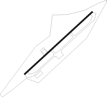
Runway info
| Runway 05 / 23 | ||
| length | 2990m (9810ft) | |
| bearing | 52° / 232° | |
| width | 50m (164ft) | |
| surface | concrete | |
| blast zone | 255m (837ft) / 255m (837ft) | |
Nearby beacons
| code | identifier | dist | bearing | frequency |
|---|---|---|---|---|
| GB | GBOKO VOR/DME | 35.6 | 138° | 115.90 |
Disclaimer
The information on this website is not for real aviation. Use this data with the X-Plane flight simulator only! Data taken with kind consent from X-Plane 12 source code and data files. Content is subject to change without notice.