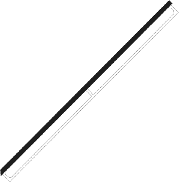
Zaria
Airport details
| Country | Nigeria |
| State | Kaduna State |
| Region | DN |
| Airspace | Kano Ctr |
| Municipality | Basawa |
| Elevation | 2167ft (661m) |
| Timezone | GMT +1 |
| Coordinates | 11.13020, 7.68571 |
| Magnetic var | |
| Type | land |
| Available since | X-Plane v10.40 |
| ICAO code | DNZA |
| IATA code | ZAR |
| FAA code | n/a |
Communication
| ZARIA Tower | 122.500 |
| ZARIA Tower | 123.300 |
Nearby beacons
| code | identifier | dist | bearing | frequency |
|---|---|---|---|---|
| ZA | ZARIA NDB | 1 | 50° | 336 |
| KUA | KADUNA VOR | 35 | 204° | 114.70 |
| KC | NEW KADUNA NDB | 35.1 | 220° | 330 |
| KDA | KADUNA VOR/DME | 35.2 | 220° | 115.30 |
| KAN | KANO VOR/DME | 72.3 | 42° | 112.50 |
Instrument approach procedures
| runway | airway (heading) | route (dist, bearing) |
|---|---|---|
| RW05 | DIDLU (78°) | DIDLU GAMAV (5mi, 143°) 4500ft |
| RW05 | KITKI (54°) | KITKI GAMAV (5mi, 54°) 4500ft |
| RW05 | KYSYL (30°) | KYSYL GAMAV (5mi, 323°) 4500ft |
| RNAV | GAMAV 4500ft ZA600 (5mi, 54°) 4000ft DNZA (6mi, 54°) 2168ft (811mi, 215°) 2580ft DIDLU (802mi, 34°) GAMAV (5mi, 143°) GAMAV (turn) 4500ft | |
| RW23 | ODVUM (230°) | ODVUM EBSEV (5mi, 230°) 4500ft |
| RW23 | TISIL (254°) | TISIL EBSEV (5mi, 319°) 4500ft |
| RW23 | XUSEN (205°) | XUSEN EBSEV (5mi, 139°) 4500ft |
| RNAV | EBSEV 4500ft ZA400 (5mi, 230°) 4000ft DNZA (6mi, 230°) 2227ft (811mi, 215°) 2580ft XUSEN (823mi, 34°) EBSEV (5mi, 139°) EBSEV (turn) 4500ft |
Disclaimer
The information on this website is not for real aviation. Use this data with the X-Plane flight simulator only! Data taken with kind consent from X-Plane 12 source code and data files. Content is subject to change without notice.
