El Borma
Airport details
| Country | Tunisia |
| State | Tataouine |
| Region | DT |
| Airspace | Tunis Ctr |
| Municipality | رمادة الغربية |
| Elevation | 827ft (252m) |
| Timezone | GMT +1 |
| Coordinates | 31.70278, 9.25750 |
| Magnetic var | |
| Type | land |
| Available since | X-Plane v10.40 |
| ICAO code | DTTR |
| IATA code | EBM |
| FAA code | n/a |
Communication
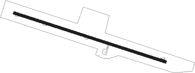
Runway info
| Runway 11 / 29 | ||
| length | 2690m (8825ft) | |
| bearing | 109° / 289° | |
| width | 45m (148ft) | |
| surface | asphalt | |
| blast zone | 61m (200ft) / 63m (207ft) | |
Nearby beacons
| code | identifier | dist | bearing | frequency |
|---|---|---|---|---|
| EBA | EL BORMA VOR | 0.2 | 317° | 113.80 |
Disclaimer
The information on this website is not for real aviation. Use this data with the X-Plane flight simulator only! Data taken with kind consent from X-Plane 12 source code and data files. Content is subject to change without notice.