Andrews - Andrews County
Airport details
| Country | United States of America |
| State | Texas |
| Region | K4 |
| Airspace | Ft Worth Ctr |
| Municipality | Andrews County |
| Elevation | 3171ft (967m) |
| Timezone | GMT -6 |
| Coordinates | 32.32377, -102.53203 |
| Magnetic var | |
| Type | land |
| Available since | X-Plane v10.32 |
| ICAO code | E11 |
| IATA code | n/a |
| FAA code | n/a |
Communication
| Andrews County AWOS | 118.200 |
| Andrews County CTAF/UNICOM | 122.800 |
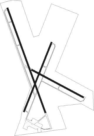
Runway info
Runway 16 / 34  | ||
| length | 1778m (5833ft) | |
| bearing | 162° / 342° | |
| width | 23m (75ft) | |
| surface | asphalt | |
| Runway 11 / 29 | ||
| length | 929m (3048ft) | |
| bearing | 118° / 298° | |
| width | 23m (75ft) | |
| surface | asphalt | |
| Runway 2 / 20 | ||
| length | 1190m (3904ft) | |
| bearing | 30° / 210° | |
| width | 23m (75ft) | |
| surface | asphalt | |
| displ threshold | 291m (955ft) / 0m (0ft) | |
Nearby beacons
| code | identifier | dist | bearing | frequency |
|---|---|---|---|---|
| MA | FARLY (MIDLAND) NDB | 22.7 | 148° | 326 |
| MAF | MIDLAND VORTAC | 25.6 | 133° | 114.80 |
| HOB | HOBBS VORTAC | 41.8 | 293° | 111 |
| INK | WINK VORTAC | 45.1 | 238° | 112.10 |
Instrument approach procedures
| runway | airway (heading) | route (dist, bearing) |
|---|---|---|
| RW16 | ANEEL (103°) | ANEEL CIFZE (8mi, 44°) 5500ft HWSER (8mi, 83°) 5500ft |
| RW16 | HWSER (163°) | HWSER 5500ft |
| RW16 | PATTS (244°) | PATTS JERGO (20mi, 271°) 5500ft HWSER (5mi, 257°) 5500ft |
| RNAV | HWSER 5500ft CUNIN (6mi, 162°) 4800ft E11 (6mi, 164°) 3219ft ANOXY (turn) PIZON (9mi, 156°) 5000ft PIZON (turn) |
Disclaimer
The information on this website is not for real aviation. Use this data with the X-Plane flight simulator only! Data taken with kind consent from X-Plane 12 source code and data files. Content is subject to change without notice.