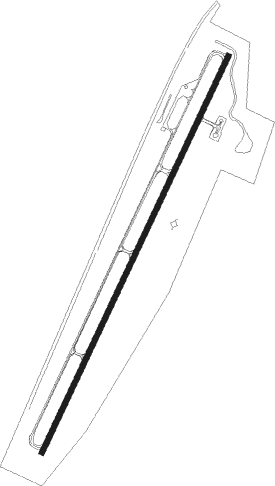
Whiteriver
Airport details
| Country | United States of America |
| State | Arizona |
| Region | K2 |
| Airspace | Albuquerque Ctr |
| Elevation | 5149ft (1569m) |
| Timezone | GMT -7 |
| Coordinates | 33.81567, -109.98172 |
| Magnetic var | |
| Type | land |
| Available since | X-Plane v10.40 |
| ICAO code | E24 |
| IATA code | n/a |
| FAA code | n/a |
Communication
| WHITERIVER CTAF/UNICOM | 122.800 |
Nearby Points of Interest:
Kinishba Ruins
-Cedar Canyon Bridge
-Corduroy Creek Bridge
-Lake Mountain Lookout Complex
Nearby beacons
| code | identifier | dist | bearing | frequency |
|---|---|---|---|---|
| SJN | ST JOHNS VORTAC | 55.4 | 54° | 112.30 |
Disclaimer
The information on this website is not for real aviation. Use this data with the X-Plane flight simulator only! Data taken with kind consent from X-Plane 12 source code and data files. Content is subject to change without notice.