Pima - Flying J Ranch
Airport details
| Country | United States of America |
| State | Arizona |
| Region | |
| Airspace | Albuquerque Ctr |
| Municipality | Graham County |
| Elevation | 3112ft (949m) |
| Timezone | GMT -7 |
| Coordinates | 32.84893, -109.87777 |
| Magnetic var | |
| Type | land |
| Available since | X-Plane v10.40 |
| ICAO code | E37 |
| IATA code | n/a |
| FAA code | E37 |
Communication
Nearby Points of Interest:
Point of Pines Sites
-Graham County Courthouse
-William Talley House
-Columbine Work Station
-Sierra Bonita Ranch
-Black Gap Bridge
-Clifton Townsite Historic District
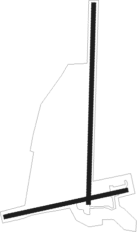
Runway info
Runway 18 / 36  | ||
| length | 713m (2339ft) | |
| bearing | 187° / 7° | |
| width | 17m (55ft) | |
| surface | dirt | |
| Runway 07 / 25 | ||
| length | 445m (1460ft) | |
| bearing | 84° / 264° | |
| width | 15m (48ft) | |
| surface | dirt | |
Nearby beacons
| code | identifier | dist | bearing | frequency |
|---|---|---|---|---|
| SSO | SAN SIMON VORTAC | 46.6 | 133° | 115.40 |
Disclaimer
The information on this website is not for real aviation. Use this data with the X-Plane flight simulator only! Data taken with kind consent from X-Plane 12 source code and data files. Content is subject to change without notice.