Spearman - Major Samuel B Cornelius Field
Airport details
| Country | United States of America |
| State | Texas |
| Region | K4 |
| Airspace | Albuquerque Ctr |
| Municipality | Spearman |
| Elevation | 3088ft (941m) |
| Timezone | GMT -6 |
| Coordinates | 36.22100, -101.19450 |
| Magnetic var | |
| Type | land |
| Available since | X-Plane v10.40 |
| ICAO code | E42 |
| IATA code | n/a |
| FAA code | n/a |
Communication
| Major Samuel B Cornelius Field CTAF | 122.900 |
Nearby Points of Interest:
Texas County Courthouse
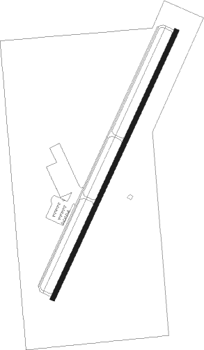
Runway info
| Runway 2 / 20 | ||
| length | 1532m (5026ft) | |
| bearing | 35° / 215° | |
| width | 23m (75ft) | |
| surface | asphalt | |
| blast zone | 91m (299ft) / 57m (187ft) | |
Nearby beacons
| code | identifier | dist | bearing | frequency |
|---|---|---|---|---|
| PYX | PERRYTON NDB | 24.4 | 67° | 266 |
| BGD | BORGER VORTAC | 26.4 | 204° | 108.60 |
| GUY | GUYMON NDB | 32.7 | 327° | 275 |
| LB | PANCK (LIBERAL) NDB | 46.1 | 18° | 383 |
| LBL | LIBERAL VORTAC | 50.6 | 15° | 112.30 |
| HQG | HUGOTON NDB | 57.2 | 349° | 365 |
| PNH | PANHANDLE VORTAC | 64.1 | 207° | 116.60 |
Instrument approach procedures
| runway | airway (heading) | route (dist, bearing) |
|---|---|---|
| RW02 | NIVAE (7°) | NIVAE 6000ft OYUSA (5mi, 295°) 6000ft |
| RW02 | OYUSA (35°) | OYUSA 6000ft |
| RW02 | SUGOE (58°) | SUGOE 6000ft OYUSA (5mi, 115°) 6000ft |
| RNAV | OYUSA 6000ft HUMIM (6mi, 35°) 4700ft E42 (5mi, 35°) 3126ft (5946mi, 110°) 3490ft OYUSA (5953mi, 290°) 6000ft OYUSA (turn) | |
| RW20 | TIKUE (188°) | TIKUE 6000ft WIPIN (5mi, 115°) 6000ft |
| RW20 | VOKCU (238°) | VOKCU 6000ft WIPIN (5mi, 295°) 6000ft |
| RW20 | WIPIN (215°) | WIPIN 6000ft |
| RNAV | WIPIN 6000ft YARBU (6mi, 215°) 4800ft ZEMGO (3mi, 215°) 3860ft E42 (3mi, 215°) 3130ft OYUSA (12mi, 215°) 6000ft OYUSA (turn) |
Disclaimer
The information on this website is not for real aviation. Use this data with the X-Plane flight simulator only! Data taken with kind consent from X-Plane 12 source code and data files. Content is subject to change without notice.