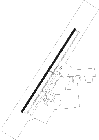
Eloy - Eloy Muni
Airport details
| Country | United States of America |
| State | Arizona |
| Region | K2 |
| Airspace | Albuquerque Ctr |
| Municipality | Eloy |
| Elevation | 1513ft (461m) |
| Timezone | GMT -7 |
| Coordinates | 32.80672, -111.58662 |
| Magnetic var | |
| Type | land |
| Available since | X-Plane v10.40 |
| ICAO code | E60 |
| IATA code | n/a |
| FAA code | n/a |
Communication
| ELOY MUNI CTAF/UNICOM | 122.800 |
Nearby Points of Interest:
Walter Wilbur House
-Casa Grande Hospital
-White House
-Valley National Bank
-Johnston's Grocery Store
-Saint Anthony's Church
-First Baptist Church
-Fisher Memorial Home
-Casa Grande Depot
-Cruz Trading Post
-Casa Grande Stone Church
-Casa Grande Woman's Club Building
-Henry and Anna Kochsmeier House
-Coolidge Woman's Club
-Florence High School
-First Presbyterian Church of Florence
-Second Pinal County Courthouse
-C.H. Cook Memorial Church
-Rittenhouse Elementary School
Nearby beacons
| code | identifier | dist | bearing | frequency |
|---|---|---|---|---|
| TFD | STANFIELD (CASA GRANDE) VORTAC | 16.9 | 284° | 114.80 |
| IWA | WILLIE (PHOENIX) VORTAC | 29.9 | 353° | 113.30 |
| AVQ | MARANA NDB | 30.2 | 137° | 245 |
| PXR | PHOENIX VORTAC | 42.2 | 329° | 115.60 |
| RBJ | ROBLES (TUCSON) NDB | 45.4 | 163° | 220 |
| RYN | RYAN (TUCSON) NDB | 45.5 | 148° | 338 |
| DMA | DAVIS-MONTHAN (TUCSON) TACAN | 52.7 | 133° | 117.60 |
| TUS | TUCSON VORTAC | 54.6 | 137° | 116 |
| LUF | LUKE (GLENDALE) TACAN | 59.3 | 313° | 113 |
Disclaimer
The information on this website is not for real aviation. Use this data with the X-Plane flight simulator only! Data taken with kind consent from X-Plane 12 source code and data files. Content is subject to change without notice.