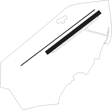
Schaffen - Diest - Schaffen
Airport details
| Country | Belgium |
| State | Flemish Brabant |
| Region | EB |
| Airspace | Brussels Ctr |
| Municipality | Diest |
| Elevation | 101ft (31m) |
| Timezone | GMT +1 |
| Coordinates | 51.00417, 5.06583 |
| Magnetic var | |
| Type | land |
| Available since | X-Plane v11.40 |
| ICAO code | EBDT |
| IATA code | n/a |
| FAA code | n/a |
Communication
| Diest - Schaffen ATC Freq | 118.930 |
Nearby Points of Interest:
Town hall of Diest
-Belgian military cemetery Halen
-Stadhuis van Zoutleeuw
-Vrankenschans
-Huis Van Straelen
-Gelatinefabriek
-Huis Cornu
-De Wijzer
-voormalig Provincieraadsgebouw
-Het Lombardenhuys
-De Arent
-Huis Heusden
-De Abraham
-De Roode Poort
-Het Zonneke
-Grauwzustersklooster
-Town Hall, Hasselt
-Gerechtshof van Hasselt
-De Molensteen
-De Gulden Beurse
-Den Crans
-De Roos
-De Voetboge Camer
-De Draeck en De Sleutel
-Leopoldplein

Nearby beacons
| code | identifier | dist | bearing | frequency |
|---|---|---|---|---|
| FLO | FLORA VOR/DME | 8 | 152° | 112.05 |
| BUN | BRUNO VOR/DME | 10.8 | 297° | 110.60 |
| OB | BRUSSELS NDB | 17.7 | 259° | 293 |
| BBL | KLEINE BROGEL TACAN | 17.9 | 68° | 109.60 |
| OP | BRUSSELS NATIONAL NDB | 18.3 | 262° | 402 |
| BBE | BEAUVECHAIN TACAN | 18.6 | 230° | 116 |
| HTB | BEAUVECHAIN NDB | 18.7 | 230° | 381 |
| BUB | BRUSSELS VOR/DME | 20.8 | 259° | 114.60 |
| ONW | ANTWERP NDB | 21.2 | 288° | 355 |
| HUL | HULDENBERG VOR/DME | 22.1 | 239° | 117.55 |
| ANT | ANTWERP (DEURNE) VOR/DME | 25 | 287° | 113.50 |
| OZ | BRUSSELS NATIONAL NDB | 25 | 253° | 314 |
| ONL | LIEGE NDB | 25.8 | 122° | 290 |
| LGE | LIEGE VOR/DME | 26 | 131° | 115.45 |
| EHV | EINDHOVEN TACAN | 29 | 35° | 117.20 |
| NW | MAASTRICHT NDB | 30.7 | 89° | 373 |
| MAS | MAASTRICHT VOR/DME | 33.8 | 92° | 108.60 |
| GZR | GILZE-RIJEN TACAN | 34.1 | 347° | 116.40 |
| NIK | NICKY VOR/DME | 34.6 | 280° | 117.40 |
| LNO | OLNO VOR/DME | 35 | 123° | 112.80 |
| AFI | AFFLIGEM VOR/DME | 35.5 | 264° | 114.90 |
| SPI | SPRIMONT VOR/DME | 36.2 | 131° | 113.10 |
| ONC | CHARLEROI NDB | 36.4 | 225° | 323 |
| GIX | GEILENKIRCHEN TACAN | 37.1 | 92° | 108.10 |
| WDT | WOENSDRECHT TACAN | 38 | 302° | 115 |
| GSY | GOSLY (CHARLEROI) VOR/DME | 40.6 | 229° | 115.70 |
| SLV | SPA NDB | 45.1 | 122° | 386 |
| VKL | VOLKEL TACAN | 45.9 | 45° | 108.30 |
| BFS | FLORENNES TACAN | 48.4 | 208° | 111.50 |
| RTM | ROTTERDAM VOR/DME | 62.1 | 329° | 110.40 |
Disclaimer
The information on this website is not for real aviation. Use this data with the X-Plane flight simulator only! Data taken with kind consent from X-Plane 12 source code and data files. Content is subject to change without notice.