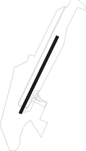
Geraardsbergen - Geraardsbergen Overboelare
Airport details
| Country | Belgium |
| State | East Flanders |
| Region | EB |
| Airspace | Brussels Ctr |
| Municipality | Geraardsbergen |
| Elevation | 64ft (20m) |
| Timezone | GMT +1 |
| Coordinates | 50.75555, 3.86389 |
| Magnetic var | |
| Type | land |
| Available since | X-Plane v10.40 |
| ICAO code | EBGG |
| IATA code | n/a |
| FAA code | n/a |
Communication
Nearby Points of Interest:
House of the Liberal Society
-Sint-Adriaansabdij
-Kasteel van Lilare
-Ooievaarsmolen
-Hof te Wolfskerke
-Le Blanc Moulin
-Sanitary, Zottegem
-town hall of Zottegem
-windmill of Grotenberge
-Onze-Lieve-Vrouw van Deinsbekekapel
-Bruggenhoek 44
-Brouwerij Merchie
-Château Empain
-Tour Burbant
-Ratmolen
-Sint-Niklaas-en-Leonarduskerk
-Moldergemmolen, Sint-Denijs-Boekel
-Huize te Nitterveld
-Kasteel Oombergen
-Oude Madrienne
-Molen Ter Sleepe
-Gotegemmolen
-Zwadderkotmolen
-Eilandmolen
-Molen te Broeck
Nearby beacons
| code | identifier | dist | bearing | frequency |
|---|---|---|---|---|
| CIV | CHIEVRES VORTAC | 10.9 | 190° | 113.20 |
| AFI | AFFLIGEM VOR/DME | 13.8 | 61° | 114.90 |
| MAK | MACKEL NDB | 18.7 | 300° | 360 |
| OZ | BRUSSELS NATIONAL NDB | 23.2 | 83° | 314 |
| LL | LILLE NDB | 26.8 | 255° | 332 |
| BUB | BRUSSELS VOR/DME | 27 | 78° | 114.60 |
| NIK | NICKY VOR/DME | 27.4 | 38° | 117.40 |
| GSY | GOSLY (CHARLEROI) VOR/DME | 28.5 | 118° | 115.70 |
| HUL | HULDENBERG VOR/DME | 29.5 | 90° | 117.55 |
| OP | BRUSSELS NATIONAL NDB | 29.7 | 76° | 402 |
| OB | BRUSSELS NDB | 30.1 | 78° | 293 |
| ONC | CHARLEROI NDB | 30.8 | 111° | 323 |
| VS | VALENCIENNES NDB | 31 | 232° | 317 |
| LEQ | LILLE LESQUIN VOR/DME | 31.7 | 256° | 109 |
| BBE | BEAUVECHAIN TACAN | 34.3 | 90° | 116 |
| HTB | BEAUVECHAIN NDB | 34.3 | 90° | 381 |
| ANT | ANTWERP (DEURNE) VOR/DME | 34.8 | 54° | 113.50 |
| ONW | ANTWERP NDB | 36.2 | 60° | 355 |
| COA | COSTA VOR/DME | 40.4 | 319° | 110.05 |
| CMB | CAMBRAI EPINOY VOR/DME | 41.7 | 233° | 112.60 |
| ONO | OOSTENDE NDB | 42.6 | 299° | 399 |
| BUN | BRUNO VOR/DME | 42.9 | 70° | 110.60 |
| BFS | FLORENNES TACAN | 43.1 | 123° | 111.50 |
| OO | OOSTENDE (OOSTENDE-BRUGGE) NDB | 45.1 | 295° | 375 |
| WDT | WOENSDRECHT TACAN | 45.3 | 35° | 115 |
Disclaimer
The information on this website is not for real aviation. Use this data with the X-Plane flight simulator only! Data taken with kind consent from X-Plane 12 source code and data files. Content is subject to change without notice.