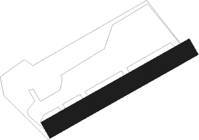
Eghezée - Liernu
Airport details
| Country | Belgium |
| State | Namur |
| Region | EB |
| Airspace | Brussels Ctr |
| Municipality | Liernu |
| Elevation | 560ft (171m) |
| Timezone | GMT +1 |
| Coordinates | 50.57972, 4.79222 |
| Magnetic var | |
| Type | land |
| Available since | X-Plane v10.40 |
| ICAO code | EBLN |
| IATA code | n/a |
| FAA code | n/a |
Communication
| Liernu Liernu Radio | 123.450 |
Nearby Points of Interest:
Great oak of Liernu
-Hospice Saint-Gilles
-Citadel of Namur
-Caves of Folx-les-Caves
-Pont de Jambes, Namur
-Maison aux deux vitrines
-Ferme de Beaurieux
-Brewery-mill of the Floreffe Abbey
-Former town hall of Jodoigne
-Hall n° 11 de l'usine Henricot n°1
-Foyer populaire de Court-Saint-Étienne
-Villers Abbey
-Wahenges Farm
-Île de Dave
-Roman villa (Wavre)
-Chapelle Notre-Dame du Bon-Secours de Zétrud-Lumay
-Farciennes Castle
-Chapelle Notre-Dame de Foy
-Tumulus of Avennes
-Château de Haltinne
-station Racour
-beguinage of Tienen
-Château Pirmez
-Kapel van Onze-Lieve-Vrouw ten Steen
-Sint-Rochuskapel (Huldenberg)
Nearby beacons
| code | identifier | dist | bearing | frequency |
|---|---|---|---|---|
| HTB | BEAUVECHAIN NDB | 10.5 | 352° | 381 |
| ONC | CHARLEROI NDB | 10.5 | 249° | 323 |
| BBE | BEAUVECHAIN TACAN | 10.6 | 352° | 116 |
| HUL | HULDENBERG VOR/DME | 11.6 | 318° | 117.55 |
| GSY | GOSLY (CHARLEROI) VOR/DME | 15.3 | 250° | 115.70 |
| OZ | BRUSSELS NATIONAL NDB | 19.3 | 307° | 314 |
| BFS | FLORENNES TACAN | 21 | 202° | 111.50 |
| OB | BRUSSELS NDB | 21.5 | 333° | 293 |
| BUB | BRUSSELS VOR/DME | 21.6 | 322° | 114.60 |
| FLO | FLORA VOR/DME | 22 | 49° | 112.05 |
| OP | BRUSSELS NATIONAL NDB | 22.8 | 331° | 402 |
| LGE | LIEGE VOR/DME | 26.2 | 84° | 115.45 |
| ONL | LIEGE NDB | 29.7 | 81° | 290 |
| AFI | AFFLIGEM VOR/DME | 31.6 | 297° | 114.90 |
| SPI | SPRIMONT VOR/DME | 31.9 | 94° | 113.10 |
| BUN | BRUNO VOR/DME | 32.4 | 5° | 110.60 |
| LNO | OLNO VOR/DME | 35 | 90° | 112.80 |
| ONW | ANTWERP NDB | 36.3 | 339° | 355 |
| CIV | CHIEVRES VORTAC | 36.5 | 270° | 113.20 |
| ANT | ANTWERP (DEURNE) VOR/DME | 38.6 | 332° | 113.50 |
| NIK | NICKY VOR/DME | 42 | 314° | 117.40 |
| BBL | KLEINE BROGEL TACAN | 43.5 | 49° | 109.60 |
| WDT | WOENSDRECHT TACAN | 54.7 | 333° | 115 |
| EHV | EINDHOVEN TACAN | 56.6 | 34° | 117.20 |
| GZR | GILZE-RIJEN TACAN | 59.4 | 8° | 116.40 |
Disclaimer
The information on this website is not for real aviation. Use this data with the X-Plane flight simulator only! Data taken with kind consent from X-Plane 12 source code and data files. Content is subject to change without notice.
