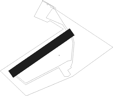
Matagne La Petite - Doische Matagne
Airport details
| Country | Belgium |
| State | Namur |
| Region | EB |
| Airspace | Brussels Ctr |
| Municipality | Doische |
| Elevation | 750ft (229m) |
| Timezone | GMT +1 |
| Coordinates | 50.10472, 4.63806 |
| Magnetic var | |
| Type | land |
| Available since | X-Plane v11.40 |
| ICAO code | EBMG |
| IATA code | n/a |
| FAA code | n/a |
Communication
Nearby Points of Interest:
Roly
-église Saint-Georges de Fumay
-Manège militaire de Givet
-Couvent des Récollectines de Givet
-Maison Gambier
-Cellatex
-Cité Paris-Campagne
-Lompret
-Cité jardin Faure
-City walls of Rocroi
-Rochers de Freÿr
-Aiguilles de Chaleux
-Château Marcadet
-Bornes de Saint-Rémi
-Amicale Solvay
-Château Pirmez
-Cité de l'Enfance
-Montignies-sur-Sambre - Chapelle du Calvaire
-Porcheresse Castle
-Fosteau Castle
-Résidence Albert
-Hanging Gardens of Thuin
-Farciennes Castle
-Immeuble De Heug
-Hôtel des Postes
Nearby beacons
| code | identifier | dist | bearing | frequency |
|---|---|---|---|---|
| BFS | FLORENNES TACAN | 8.2 | 6° | 111.50 |
| GSY | GOSLY (CHARLEROI) VOR/DME | 22.2 | 331° | 115.70 |
| ONC | CHARLEROI NDB | 23.3 | 348° | 323 |
| HUL | HULDENBERG VOR/DME | 38.7 | 0° | 117.55 |
| HTB | BEAUVECHAIN NDB | 39.3 | 11° | 381 |
| BBE | BEAUVECHAIN TACAN | 39.4 | 11° | 116 |
| CIV | CHIEVRES VORTAC | 41.7 | 300° | 113.20 |
| OZ | BRUSSELS NATIONAL NDB | 43.8 | 347° | 314 |
| SPI | SPRIMONT VOR/DME | 45.1 | 67° | 113.10 |
| LGE | LIEGE VOR/DME | 45.8 | 57° | 115.45 |
| MMD | MONTMEDY VOR | 46.8 | 146° | 109.40 |
| BUB | BRUSSELS VOR/DME | 48 | 353° | 114.60 |
| OB | BRUSSELS NDB | 48.9 | 358° | 293 |
| ONL | LIEGE NDB | 49.9 | 57° | 290 |
| FLO | FLORA VOR/DME | 50 | 33° | 112.05 |
| OP | BRUSSELS NATIONAL NDB | 50.1 | 357° | 402 |
| AFI | AFFLIGEM VOR/DME | 51.8 | 328° | 114.90 |
| REM | REIMS VOR | 52.9 | 217° | 112.30 |
Disclaimer
The information on this website is not for real aviation. Use this data with the X-Plane flight simulator only! Data taken with kind consent from X-Plane 12 source code and data files. Content is subject to change without notice.