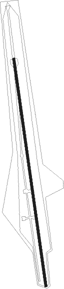
Burgberg - Agathazell
Airport details
| Country | Germany |
| State | Bavaria |
| Region | |
| Airspace | Munich Ctr |
| Municipality | Burgberg i.Allgäu |
| Elevation | 2384ft (727m) |
| Timezone | GMT +1 |
| Coordinates | 47.55414, 10.27299 |
| Magnetic var | |
| Type | land |
| Available since | X-Plane v10.30 |
| ICAO code | ED01 |
| IATA code | n/a |
| FAA code | n/a |
Communication
| Agathazell Agathazell Info | 123.350 |
Nearby Points of Interest:
Burg Ettensberg
-Burgstall Weiher
-rectory
-Starzlachklamm
-Sankt Leonhard in Berghofen
-Rathaus Immenstadt im Allgäu
-St. Georg
-Ordensburg Sonthofen
-Hohe Brücke
-St. Peter und Paul (Eckarts)
-St. Wolfgang
-Pfarrhaus
-Dreifaltigkeitskapelle
-Dreikugelhaus
-Stutenhof Bad Hindelang
-Sühnekreuz
-Burgstall Linsen
-Loja-Kapelle
Nearby beacons
| code | identifier | dist | bearing | frequency |
|---|---|---|---|---|
| KPT | KEMPTEN VOR/DME | 11.9 | 22° | 108.40 |
| ALD | (MEMMINGEN/ALLGAU) DME | 26.1 | 355° | 117.20 |
| ALG | ALLGAEU (MEMMINGEN) NDB | 26.6 | 359° | 341 |
| FHD | DME | 31.8 | 278° | 112.60 |
| LUP | LAUPHEIM NDB | 42.4 | 331° | 407 |
| LCH | LECHFELD TACAN | 44.9 | 43° | 108.80 |
| WFJ | DME | 47.4 | 214° | 113.75 |
| AGB | AUGSBURG NDB | 58.6 | 37° | 318 |
| AUG | DME | 58.7 | 37° | 115.90 |
Disclaimer
The information on this website is not for real aviation. Use this data with the X-Plane flight simulator only! Data taken with kind consent from X-Plane 12 source code and data files. Content is subject to change without notice.