Großenhain - Grossenhain
Airport details
| Country | Germany |
| State | Saxony |
| Region | ED |
| Airspace | Munich Ctr |
| Municipality | Großenhain |
| Elevation | 416ft (127m) |
| Timezone | GMT +1 |
| Coordinates | 51.31167, 13.55917 |
| Magnetic var | |
| Type | land |
| Available since | X-Plane v10.40 |
| ICAO code | EDAK |
| IATA code | n/a |
| FAA code | n/a |
Communication
| Grossenhain Grossenhain Info | 122.700 |
Nearby Points of Interest:
Dorfkirche Skassa
-St. Georgen
-Dorfkirche Blochwitz
-Dorfkirche Frauenhain
-Kirche Großdobritz
-Dorfkirche Koselitz
-Dorfkirche Rödern
-Castle of Zschorna
-Schlosskirche
-Dorfkirche Lichtensee
-Kaufhalle Krauschütz
-Färberei Hauptvogel Ortrand
-Elsterwerda-Grödel-Floßkanal
-Schloss Proschwitz
-Lehnsmühlenschloss, Mühlgasse 2
-Denkmal für die Gefallenen im Deutsch-Französischen Krieg (Stolzenhain an der Röder)
-Dorfkirche Nauwalde
-Hauptstraße 8 (Elsterwerda)
-Grabkreuz des Johann Carl Gottlieb Seifert
-St. Katharina-Kirche
-Pfarrhaus Kirchstraße (Elsterwerda)
-Bäckerei Selkmann Elsterwerda
-St. Michaelis
-Dorfkirche Spansberg
-Bahnhofstraße 25
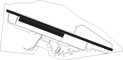
Runway info
Runway 11 / 29  | ||
| length | 2391m (7844ft) | |
| bearing | 106° / 286° | |
| width | 48m (157ft) | |
| surface | concrete | |
| displ threshold | 338m (1109ft) / 753m (2470ft) | |
| Runway 11R / 29L | ||
| length | 977m (3205ft) | |
| bearing | 106° / 286° | |
| width | 40m (131ft) | |
| surface | grass | |
| Runway 11C / 29C | ||
| length | 980m (3215ft) | |
| bearing | 106° / 286° | |
| width | 40m (131ft) | |
| surface | grass | |
Nearby beacons
| code | identifier | dist | bearing | frequency |
|---|---|---|---|---|
| FS | DRESDEN NDB | 13 | 112° | 374 |
| DND | DME | 13.2 | 133° | 115.40 |
| DRN | DRESDEN VOR/DME | 17.8 | 172° | 114.35 |
| HOZ | HOLZDORF TACAN | 30.4 | 322° | 117.25 |
| HOZ | HOLZDORF NDB | 32.4 | 315° | 406 |
| HDO | HERMSDORF VOR/DME | 38.2 | 115° | 108.65 |
| KLF | KLASDORF VOR/DME | 42.5 | 0° | 115.15 |
Disclaimer
The information on this website is not for real aviation. Use this data with the X-Plane flight simulator only! Data taken with kind consent from X-Plane 12 source code and data files. Content is subject to change without notice.