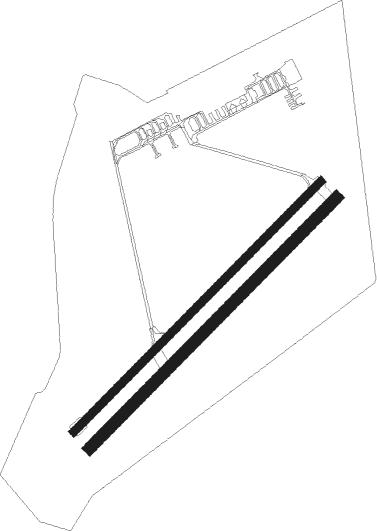
Strausberg
Airport details
| Country | Germany |
| State | Brandenburg |
| Region | ED |
| Airspace | Bremen Ctr |
| Municipality | Strausberg |
| Elevation | 262ft (80m) |
| Timezone | GMT +1 |
| Coordinates | 52.58480, 13.91540 |
| Magnetic var | |
| Type | land |
| Available since | X-Plane v10.40 |
| ICAO code | EDAY |
| IATA code | QPK |
| FAA code | n/a |
Communication
| Strausberg Strausberg Information | 118.735 |
| Strausberg Departure | 132.650 |
Nearby Points of Interest:
Village church Klosterdorf (Oberbarnim)
-Straussee Ferry
-Schloss Wilkendorf
-Village church Grunow (Oberbarnim)
-Village church Bollersdorf
-Parish church in Buckow (Märkische Schweiz)
-Water Tower Waldsieversdorf
-Burgwall Waldsieversdorf
-Schloss Harnekop
-Village church Kagel
-Village church Kienbaum
-Radarturm Weesow
-Village church Münchehofe (Müncheberg)
-Ringenwalde church
-Rittergut Möglin
-Village church Neuenhagen bei Berlin
-Village church in Eggersdorf
-Jüdischer Friedhof
-Village church Heckelberg
-Village church Jänickendorf
-Galopprennbahn Hoppegarten
-Village church Obersdorf
-Village church Hermersdorf
-Manor church Schöneiche
-Village church Beerfelde

Nearby beacons
| code | identifier | dist | bearing | frequency |
|---|---|---|---|---|
| FWE | FUERSTENWALDE VOR/DME | 13 | 129° | 113.30 |
| SDD | DME | 19.6 | 243° | 114.40 |
| BBI | BERLIN BRANDENBURG VOR/DME | 22.3 | 242° | 114.10 |
| LWB | LOEWENBERG VOR/DME | 34.4 | 293° | 114.55 |
| KLF | KLASDORF VOR/DME | 36.3 | 212° | 115.15 |
| HOZ | HOLZDORF TACAN | 55.7 | 221° | 117.25 |
| HOZ | HOLZDORF NDB | 57.4 | 225° | 406 |
Departure and arrival routes
| Transition altitude | 5000ft |
| SID end points | distance | outbound heading | |
|---|---|---|---|
| RW05 | |||
| RENK1A | 20mi | 8° | |
| RW23 | |||
| RENK1B | 20mi | 8° | |
Instrument approach procedures
| runway | airway (heading) | route (dist, bearing) |
|---|---|---|
| RW05 | RENKI (188°) | RENKI 4000ft AY121 (11mi, 202°) 3000ft AY120 (6mi, 202°) 2000ft AY110 (7mi, 242°) 2000ft AY100 (4mi, 125°) 1500ft |
| RNAV | AY100 1500ft MERWU (3mi, 62°) 1500ft EDAY (4mi, 59°) 308ft AY131 (4mi, 14°) 2000ft RENKI (16mi, 6°) 4000ft | |
| RW23 | RENKI (188°) | RENKI 4000ft AY231 (11mi, 136°) 3000ft AY420 (3mi, 195°) 2000ft AY400 (2mi, 194°) 2000ft |
| RNAV | AY400 2000ft OCHUS (3mi, 242°) 2000ft EDAY (5mi, 245°) 311ft AY330 (4mi, 319°) 2000ft RENKI (17mi, 18°) 4000ft |
Disclaimer
The information on this website is not for real aviation. Use this data with the X-Plane flight simulator only! Data taken with kind consent from X-Plane 12 source code and data files. Content is subject to change without notice.