Zwickau
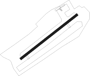
Airport details
| Country | Germany |
| State | Saxony |
| Region | ED |
| Airspace | Munich Ctr |
| Municipality | Zwickau |
| Elevation | 1048ft (319m) |
| Timezone | GMT +1 |
| Coordinates | 50.70300, 12.45950 |
| Magnetic var | |
| Type | land |
| Available since | X-Plane v10.40 |
| ICAO code | EDBI |
| IATA code | n/a |
| FAA code | n/a |
Communication
| Zwickau Zwickau Info | 122.900 |
Nearby Points of Interest:
Bergbaulehrpfad Schedewitz–Oberhohndorf
-Käthe-Kollwitz-Gymnasium Zwickau
-Pestalozzischule Zwickau
-Dorfkirche Fraureuth
-Talsperre Wolfersgrün
-Kirchberg station
-Salvatorkirche Weißbach
-Lossow’sche Villa
-Speicher
-Schloss Wolfsbrunn
-Klopfermühle
-Schloss Hartenstein
-Stadtkirche Mylau
-Göltzschtalbrücke railway station
-Silberschmelzhütte St. Georgen
-Rathaus Schneeberg
-Filzteich
-Kloster Remse
-Dorfkirche Nischwitz
-Protestant Church (Jonaswalde)
-Johann-Heinrich-Pestalozzi-Gymnasium Rodewisch
-Dorfkirche Zschorlau
-Category:Klösterlein Zelle (Rittergut)
-Dorfkirche Naundorf
-St. Anna Church Gößnitz
Nearby beacons
| code | identifier | dist | bearing | frequency |
|---|---|---|---|---|
| AGD | DME | 16.9 | 11° | 115.30 |
| ABU | ALTENBURG NDB | 17.6 | 12° | 330 |
| L | VRATA (KARLOVY VARY) NDB | 35.6 | 136° | 365 |
| OKG | CHEB VOR/DME | 38.3 | 185° | 115.70 |
| SKZ | SCHKEUDITZ (LEIPZIG-HALLE) NDB | 43.3 | 345° | 357 |
| LLD | SOUTH(LEIPZIG- DME | 43.6 | 342° | 112.15 |
| LEG | LEIPZIG VOR/DME | 44 | 1° | 115.85 |
| ZIG | LEIPZIG NDB | 44.4 | 346° | 340 |
| LND | NORTH(LEIPZIG- DME | 44.7 | 342° | 113.50 |
| GOT | GOTEM VOR/DME | 50.3 | 307° | 115.25 |
| BAY | BAYREUTH VOR | 53.4 | 229° | 110.60 |
Disclaimer
The information on this website is not for real aviation. Use this data with the X-Plane flight simulator only! Data taken with kind consent from X-Plane 12 source code and data files. Content is subject to change without notice.