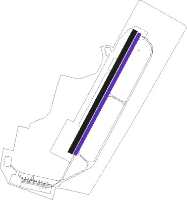
Kamenz
Airport details
| Country | Germany |
| State | Saxony |
| Region | ED |
| Airspace | Munich Ctr |
| Municipality | Kamenz - Kamjenc |
| Elevation | 495ft (151m) |
| Timezone | GMT +1 |
| Coordinates | 51.29700, 14.12750 |
| Magnetic var | |
| Type | land |
| Available since | X-Plane v10.40 |
| ICAO code | EDCM |
| IATA code | n/a |
| FAA code | n/a |
Communication
| Kamenz Kamenz Info | 122.050 |
Nearby Points of Interest:
Mönch (Kamenz)
-Andreasbrunnen
-Town halls in Kamenz
-Roter Turm
-Schloss Oberlichtenau
-Barockschloss Neschwitz
-Viadukt Königsbrück
-Dorfkirche Torno
-Kreuzerhöhungskirche Königsbrück
-Dorfkirche Hohenbocka
-Neues Rathaus
-Altes Rathaus
-Bahnhof Radibor
-Fledermausschloss Weißig
-Village church Hosena
-Schloss Guteborn
-Kirche Laubusch
-Kirche Kleinröhrsdorf
-Gutshaus Schwarzbach
-Gaussig House
-Village church Großkoschen
-Augustusbad
-Epilepsiezentrum Kleinwachau
-Hofrichterhaus
-Mönchsbastei

Nearby beacons
| code | identifier | dist | bearing | frequency |
|---|---|---|---|---|
| FS | DRESDEN NDB | 12.1 | 249° | 374 |
| DND | DME | 17.1 | 246° | 115.40 |
| HDO | HERMSDORF VOR/DME | 23.9 | 147° | 108.65 |
| DRN | DRESDEN VOR/DME | 26.1 | 242° | 114.35 |
| OKX | FRYDLANT VOR/DME | 41.5 | 114° | 114.85 |
| HOZ | HOLZDORF TACAN | 44.7 | 297° | 117.25 |
| KLF | KLASDORF VOR/DME | 48.2 | 322° | 115.15 |
| NER | NERATOVICE VOR/DME | 58.9 | 152° | 112.25 |
Disclaimer
The information on this website is not for real aviation. Use this data with the X-Plane flight simulator only! Data taken with kind consent from X-Plane 12 source code and data files. Content is subject to change without notice.