Pasewalk
Airport details
| Country | Germany |
| State | Mecklenburg-Vorpommern |
| Region | ED |
| Airspace | Bremen Ctr |
| Municipality | Pasewalk |
| Elevation | 71ft (22m) |
| Timezone | GMT +1 |
| Coordinates | 53.50550, 13.94833 |
| Magnetic var | |
| Type | land |
| Available since | X-Plane v10.45 |
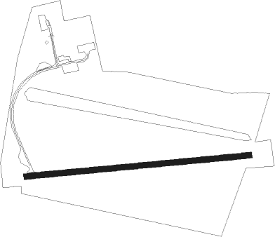
| ICAO code | EDCV |
| IATA code | n/a |
| FAA code | n/a |
Communication
| Pasewalk Pasewalk Info | 126.350 |
Nearby Points of Interest:
Rotes Hospital
-Jewish Cemetery
-Elendenhaus
-Nikolaikirche
-Jagdschlösschen
-Offizierskasino
-Villa Knobelsdorff
-Church in Rollwitz
-Kirche Groß Spiegelberg
-Protestant Church (Nieden)
-Schloss Krugsdorf
-Village church Malchow
-Church in Schönfeld
-Kirche Fahrenwalde
-Burgwall Schanzenberg
-Village church Klockow (Schönfeld)
-Church in Dauer
-Village church Güterberg
-Village church Carmzow
-Church in Schenkenberg (village)
-Church in Blindow
-Village church Hetzdorf (Uckerland)
-Church in Dedelow
-Dorfkirche (Menkin)
-Village church Schlepkow
Nearby beacons
| code | identifier | dist | bearing | frequency |
|---|---|---|---|---|
| FLD | FRIEDLAND VOR/DME | 20.6 | 304° | 117.15 |
| HC | HERINGSDORF NDB | 23.6 | 32° | 330 |
| SCZ | SZCZECIN VOR/DME | 33.7 | 84° | 114.75 |
| LWB | LOEWENBERG VOR/DME | 46.2 | 234° | 114.55 |
Disclaimer
The information on this website is not for real aviation. Use this data with the X-Plane flight simulator only! Data taken with kind consent from X-Plane 12 source code and data files. Content is subject to change without notice.