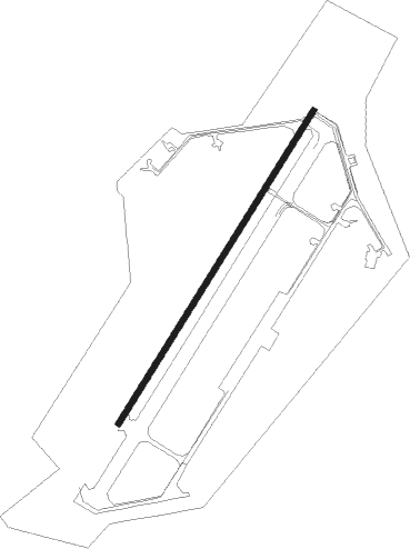
Welzow - Spremberg - Welzow
Airport details
| Country | Germany |
| State | Brandenburg |
| Region | ED |
| Airspace | Munich Ctr |
| Municipality | Altdöbern |
| Elevation | 375ft (114m) |
| Timezone | GMT +1 |
| Coordinates | 51.58346, 14.15034 |
| Magnetic var | |
| Type | land |
| Available since | X-Plane v10.40 |
| ICAO code | EDCY |
| IATA code | n/a |
| FAA code | n/a |
Communication
| Spremberg - Welzow Welzow Info | 134.855 |
Nearby Points of Interest:
Village church Welzow
-Dorfkirche Lieske
-Dorfkirche Allmosen
-Village church Proschim
-Dorfkirche Neupetershain-Nord
-Dorfkirche Ressen
-Dorfkirche Dörrwalde
-Windmill in Dörrwalde
-Dorfkirche Steinitz
-Dorfkirche Greifenhain
-Dorfkirche Sedlitz
-St. Antonius-Church Großräschen
-Dorfkirche Laubst
-Village church Großkoschen
-Dorfkirche Casel
-Amtsgericht Senftenberg
-Wendische Kirche
-Kirche Laubusch
-Dorfkirche Illmersdorf
-Schloss Senftenberg
-Mahnmal für die Opfer des Faschismus und Militarismus in Senftenberg
-Bergbauhaus
-Lutherkirche
-Village church Freienhufen
-Dorfkirche Groß Döbbern
Nearby beacons
| code | identifier | dist | bearing | frequency |
|---|---|---|---|---|
| FS | DRESDEN NDB | 26 | 218° | 374 |
| DND | DME | 30.9 | 221° | 115.40 |
| KLF | KLASDORF VOR/DME | 34 | 307° | 115.15 |
| HOZ | HOLZDORF TACAN | 37.1 | 281° | 117.25 |
| DRN | DRESDEN VOR/DME | 39.9 | 224° | 114.35 |
| HDO | HERMSDORF VOR/DME | 40.2 | 162° | 108.65 |
| FWE | FUERSTENWALDE VOR/DME | 49.7 | 359° | 113.30 |
| BBI | BERLIN BRANDENBURG VOR/DME | 52.3 | 317° | 114.10 |
| OKX | FRYDLANT VOR/DME | 52.6 | 128° | 114.85 |
| SDD | DME | 53.1 | 321° | 114.40 |
Disclaimer
The information on this website is not for real aviation. Use this data with the X-Plane flight simulator only! Data taken with kind consent from X-Plane 12 source code and data files. Content is subject to change without notice.