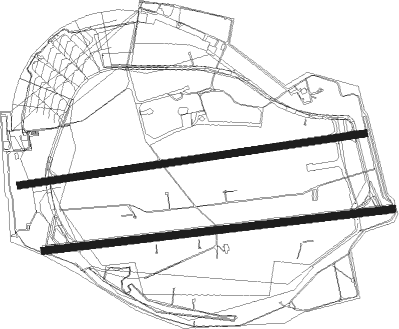
Berlin - Berlin Tempelhof
Airport details
| Country | Germany |
| State | Berlin |
| Region | |
| Airspace | Bremen Ctr |
| Elevation | 164ft (50m) |
| Timezone | GMT +1 |
| Coordinates | 52.48144, 13.39920 |
| Magnetic var | |
| Type | land |
| Available since | X-Plane v10.40 |
| ICAO code | EDDI |
| IATA code | THF |
| FAA code | n/a |
Communication
Nearby Points of Interest:
Tempelhofer Berg Water Tower
-Chamissoplatz
-Haus Lindenberg
-Viktoria-Quartier
-Krankenhaus Am Urban
-Garde Dragoner Kaserne
-Amerika-Gedenkbibliothek
-144., 176. und 184. Gemeindeschule
-Haus des Deutschen Metallarbeiterverbandes
-Berlin Peace Column
-Hallesches Ufer 24–28
-Reichspostzentralamt
-Oberlandstraße
-Yorckstraße station
-Tempelhofer Ufer 23–24
-Kommende Tempelhof, Berlin
-1. Realschule
-Ritterhof
-Postamt Tempelhof
-Askanisches Gymnasium
-Butzke-Werke
-Regenbogenfabrik Berlin
-Victoria Versicherung
-Postamt Berlin SW 11
-Reichsbahnausbesserungswerk Tempelhof

Nearby beacons
| code | identifier | dist | bearing | frequency |
|---|---|---|---|---|
| SDD | DME | 7.4 | 136° | 114.40 |
| BBI | BERLIN BRANDENBURG VOR/DME | 8.6 | 159° | 114.10 |
| FWE | FUERSTENWALDE VOR/DME | 27.1 | 95° | 113.30 |
| LWB | LOEWENBERG VOR/DME | 27.4 | 328° | 114.55 |
| KLF | KLASDORF VOR/DME | 28.4 | 160° | 115.15 |
| HOZ | HOLZDORF TACAN | 43.5 | 196° | 117.25 |
| HOZ | HOLZDORF NDB | 44.1 | 203° | 406 |
Disclaimer
The information on this website is not for real aviation. Use this data with the X-Plane flight simulator only! Data taken with kind consent from X-Plane 12 source code and data files. Content is subject to change without notice.