Rothenburg Ob Der Tauber
Airport details
| Country | Germany |
| State | Bavaria |
| Region | ED |
| Airspace | Langen Ctr |
| Municipality | Rothenburg ob der Tauber |
| Elevation | 1309ft (399m) |
| Timezone | GMT +1 |
| Coordinates | 49.39067, 10.21883 |
| Magnetic var | |
| Type | land |
| Available since | X-Plane v10.40 |
| ICAO code | EDFR |
| IATA code | n/a |
| FAA code | n/a |
Communication
| Rothenburg ob der Tauber Rothenburg Info | 118.175 |
Nearby Points of Interest:
Bildstock
-Ansbacher Straße 2 (Rothenburg ob der Tauber)
-Judengasse 10
-Town hall of Rothenburg ob der Tauber
-Hofbronnengasse 13
-Herrngasse 1 (Rothenburg ob der Tauber)
-Evangelisch-lutherisches Pfarrhaus (Gattenhofen)
-Klosterhof 5, Konventsgebäude
-Wildbad
-Tauberzell 11
-Bodenloses Loch
-Rathaus
-Friedhofsmauer, ehemalige Wehrmauer
-Pfarrhaus Wettringen (Mittelfranken)
-Rathaus Wettringen
-Romschlösschen
-City fortifications of Creglingen
-Zollhaus
-Ansbacher Straße 26
-Evangelisch-Lutherisches Dekanatamt Leutershausen
-Amtsgericht Uffenheim
-St. Jakob Häslabronn
-St. Peter und Paul (Gräfenbuch)
-Rathaus (Aurach)
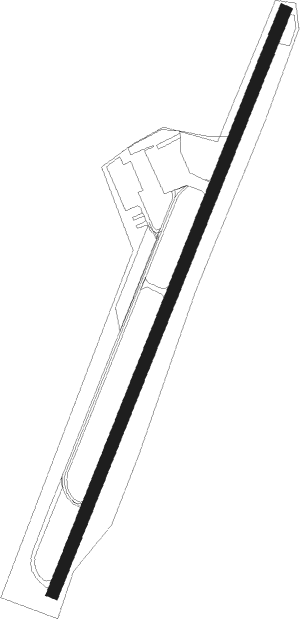
Runway info
| Runway 03 / 21 | ||
| length | 996m (3268ft) | |
| bearing | 37° / 217° | |
| width | 20m (66ft) | |
| surface | asphalt | |
| displ threshold | 0m (0ft) / 50m (164ft) | |
Nearby beacons
| code | identifier | dist | bearing | frequency |
|---|---|---|---|---|
| ILM | ILLESHEIM NDB | 8.2 | 64° | 488 |
| NSN | NIEDERSTETTEN NDB | 9.9 | 271° | 311 |
| NDD | DME-ILS | 10 | 271° | 108.70 |
| DKB | DINKELSBUEHL VORTAC | 14.9 | 176° | 117.80 |
| ANS | ANSBACH NDB | 16.8 | 101° | 452 |
| SHD | HALL DME | 23.8 | 238° | 108.05 |
| NUB | NUERNBERG VOR/DME | 32.5 | 82° | 115.75 |
| NGD | DME | 34.2 | 83° | 113.10 |
| ERL | ERLANGEN VOR/DME | 39.6 | 74° | 114.90 |
| LBU | LUBURG VOR/DME | 44.8 | 241° | 109.20 |
| STG | STUTTGART VOR/DME | 56.3 | 234° | 116.85 |
| NEU | NEUBURG TACAN | 56.4 | 124° | 108.90 |
| SGD | DME | 57.5 | 235° | 115.45 |
| TGO | TANGO TACAN | 59.8 | 231° | 112.50 |
| WLD | WALDA VOR/DME | 60.5 | 132° | 112.80 |
| AGB | AUGSBURG NDB | 64.5 | 144° | 318 |
| AUG | DME | 64.5 | 143° | 115.90 |
Disclaimer
The information on this website is not for real aviation. Use this data with the X-Plane flight simulator only! Data taken with kind consent from X-Plane 12 source code and data files. Content is subject to change without notice.