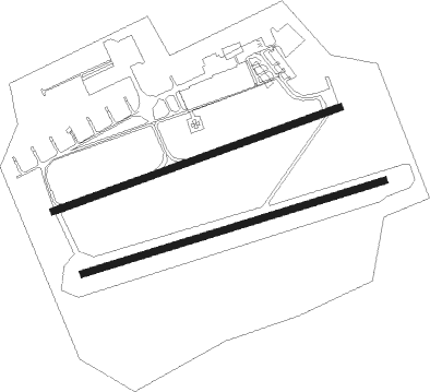
Mainz - Mainz-finthen
Airport details
| Country | Germany |
| State | Rhineland-Palatinate |
| Region | ED |
| Airspace | Langen Ctr |
| Municipality | Mainz |
| Elevation | 761ft (232m) |
| Timezone | GMT +1 |
| Coordinates | 49.96850, 8.14800 |
| Magnetic var | |
| Type | land |
| Available since | X-Plane v10.35 |
| ICAO code | EDFZ |
| IATA code | QMZ |
| FAA code | n/a |
Communication
| Mainz-Finthen Mainz Info | 122.930 |
Nearby Points of Interest:
Schlossmühle
-Selztaldom
-Evangelische Kirche Gonsenheim
-Rinderbacher Tor
-Burg Stadeck
-Amtsapotheke Eltville
-Synagoge in Eltville am Rhein
-Draiser Hof
-Schloss Westerhaus
-Arne-Jacobsen-Bau in Mainz-Hartenberg/Münchfeld
-Wilhelmj-Haus
-Siedlung Baentschstraße
-Peter-Cornelius-Platz
-Bismarckplatz (Mainz)
-Josefsstr12
-Stadthaus (Mainz)
-Telehaus (Mainz)
-Stadioner Hof
-Hauptsynagoge Mainz
-Winzerhaus Acker 10
-Neues Proviantamt
-Rathaus (Appenheim)
-frog tower
-St. Martin (Jugenheim)
-Villa Eisgrubweg 13

Nearby beacons
| code | identifier | dist | bearing | frequency |
|---|---|---|---|---|
| WIB | WIESBADEN TACAN | 7.8 | 65° | 114.10 |
| FW | FRANKFURT NDB | 11 | 83° | 382 |
| VFM | NAUHEIM VOR | 12.4 | 91° | 113.75 |
| FRD | DME | 16.6 | 82° | 115.90 |
| TAU | TAUNUS VOR/DME | 16.9 | 3° | 113.35 |
| RID | RIED VOR/DME | 18.9 | 115° | 112.20 |
| FFM | FRANKFURT VORTAC | 19.5 | 80° | 114.20 |
| FR | FRANKFURT NDB | 21.4 | 80° | 297 |
| MTR | METRO VOR | 32.7 | 66° | 110 |
| MND | DME | 33.1 | 144° | 113.55 |
| HAN | HAHN NDB | 33.4 | 270° | 376 |
| FHH | DME | 34.3 | 268° | 117.35 |
| CHA | CHARLIE VOR/DME | 34.5 | 93° | 115.35 |
| RMS | RAMSTEIN TACAN | 38.7 | 226° | 113.40 |
| SIL | SIEGERLAND NDB | 42.7 | 359° | 489 |
| NKR | NECKAR NDB | 44.2 | 137° | 292 |
| SLD | DME | 44.4 | 355° | 108.05 |
| ZWN | ZWEIBRUECKEN VOR/DME | 52.7 | 225° | 114.80 |
| COL | COLA VOR/DME | 53.3 | 326° | 108.80 |
| SR | ENSHEIM (SAARBRUECKEN) NDB | 57.7 | 231° | 360 |
| KRH | KARLSRUHE VOR/DME | 61 | 156° | 115.95 |
| LV | COLOGNE-BONN NDB | 61 | 313° | 327 |
| LW | COLOGNE-BONN NDB | 65.5 | 316° | 300 |
Disclaimer
The information on this website is not for real aviation. Use this data with the X-Plane flight simulator only! Data taken with kind consent from X-Plane 12 source code and data files. Content is subject to change without notice.