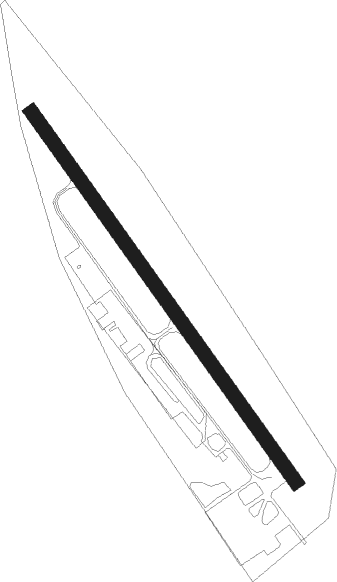
Mosbach - Mosbach - Lohrbach
Airport details
| Country | Germany |
| State | Baden-Württemberg |
| Region | ED |
| Airspace | Langen Ctr |
| Municipality | Mosbach |
| Elevation | 1082ft (330m) |
| Timezone | GMT +1 |
| Coordinates | 49.39889, 9.12389 |
| Magnetic var | |
| Type | land |
| Available since | X-Plane v10.40 |
| ICAO code | EDGM |
| IATA code | n/a |
| FAA code | n/a |
Communication
| Mosbach - Lohrbach Mosbach Info | 122.850 |
Nearby Points of Interest:
Alte katholische Kirche Lohrbach
-Limeswachturm Wp 10/59
-Schloss Hochhausen
-Haus Mosbacher Straße 3
-Grabkapelle der Freiherren von Ellrichshausen
-Saint Luke Church
-Lindenplatz 5
-Synagogue (Sennfeld)
-Jagdschloss Gammelsbach
-Stellsteinreihe
-Zehntscheune (Buchen im Odenwald)
-Holy Trinity Chapel
-Altes Pfarrhaus (Eschelbronn)
-Krähbergtunnel
-Watterbacher Haus
-Hartlesbrunnen
-Rappengasse 6
-Jüdischer Friedhof Sinsheim
-Böllinger Mühle
-Taharahaus
-Pfarrhaus (Neckargartach)
-Mittelstraße 13 und 15
-Böckinger Straße 7
-Ludwig’sche Mühle
-Cotta‘sche Villa
Nearby beacons
| code | identifier | dist | bearing | frequency |
|---|---|---|---|---|
| NKR | NECKAR NDB | 15.7 | 261° | 292 |
| MND | DME | 24.1 | 277° | 113.55 |
| LBU | LUBURG VOR/DME | 30.3 | 156° | 109.20 |
| SHD | HALL DME | 30.7 | 113° | 108.05 |
| CHA | CHARLIE VOR/DME | 31.5 | 351° | 115.35 |
| KRH | KARLSRUHE VOR/DME | 32.2 | 233° | 115.95 |
| RID | RIED VOR/DME | 32.2 | 303° | 112.20 |
| NDD | DME-ILS | 32.7 | 90° | 108.70 |
| NSN | NIEDERSTETTEN NDB | 32.8 | 90° | 311 |
| VFM | NAUHEIM VOR | 42.2 | 311° | 113.75 |
| STG | STUTTGART VOR/DME | 42.5 | 169° | 116.85 |
| SGD | DME | 42.8 | 172° | 115.45 |
| FR | FRANKFURT NDB | 43.5 | 327° | 297 |
| FFM | FRANKFURT VORTAC | 43.6 | 323° | 114.20 |
| FRD | DME | 43.6 | 319° | 115.90 |
| FW | FRANKFURT NDB | 45.3 | 311° | 382 |
| TGO | TANGO TACAN | 47.1 | 170° | 112.50 |
| WIB | WIESBADEN TACAN | 50 | 309° | 114.10 |
| MTR | METRO VOR | 53.7 | 343° | 110 |
| TAU | TAUNUS VOR/DME | 63.2 | 312° | 113.35 |
Disclaimer
The information on this website is not for real aviation. Use this data with the X-Plane flight simulator only! Data taken with kind consent from X-Plane 12 source code and data files. Content is subject to change without notice.