Wolfhagen
Airport details
| Country | Germany |
| State | Hesse |
| Region | ED |
| Airspace | Langen Ctr |
| Municipality | Wolfhagen |
| Elevation | 1025ft (312m) |
| Timezone | GMT +1 |
| Coordinates | 51.30700, 9.17533 |
| Magnetic var | |
| Type | land |
| Available since | X-Plane v10.40 |
| ICAO code | EDGW |
| IATA code | n/a |
| FAA code | n/a |
Communication
| Wolfhagen Wolfhagen Info | 127.450 |
Nearby Points of Interest:
Altenstädter Warte
-Wallburg Großenritte
-Elfbuchenturm
-Bahnhof Baunatal-Großenritte
-Evangelische Kirche Meimbressen
-Eulenturm
-Evangelische Kirche Kirchbauna
-Kloster Wormeln
-Ringwallanlagen Odenberg
-Galeriegrab Calden I
-Menhir von Wellen
-Warburg-Altstadt railway station
-Arnoldihaus
-Stadthalle Kassel
-Goldschmidthaus
-Eisenhoithaus
-Altstädter Rathaus
-Glockengießerhaus
-Amtsgericht Warburg
-Rathaus Warburg
-Corvinushaus
-Haus Böttrich
-Mönchehof
-Kasseler Straße 26
-Wilhelmshöher Allee 118
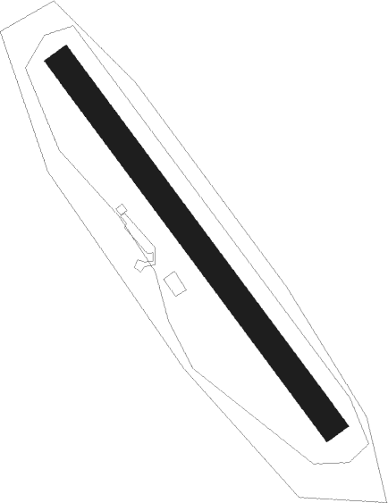
Runway info
| Runway 15 / 33 | ||
| length | 501m (1644ft) | |
| bearing | 135° / 315° | |
| width | 30m (98ft) | |
| surface | grass | |
Nearby beacons
| code | identifier | dist | bearing | frequency |
|---|---|---|---|---|
| DKS | DME-ILS | 11 | 64° | 111.50 |
| WRB | WARBURG VOR/DME | 12.1 | 342° | 113.70 |
| FTZ | FRITZLAR NDB | 16.1 | 133° | 468 |
| PAD | DME-ILS | 27.6 | 299° | 108.50 |
| FUL | FULDA VOR/DME | 45.4 | 151° | 112.10 |
| GED | GEDERN VORTAC | 53.8 | 175° | 110.80 |
| BYC | BUECKEBURG NDB | 59.1 | 355° | 368 |
| DLE | LEINE VOR/DME | 62.4 | 37° | 115.20 |
| SAS | SARSTEDT VOR/DME | 62.5 | 37° | 114.45 |
| OSB | OSNABRUCK TACAN | 63 | 315° | 108.35 |
| OSN | OSNABRUECK VOR | 63 | 315° | 114.30 |
Disclaimer
The information on this website is not for real aviation. Use this data with the X-Plane flight simulator only! Data taken with kind consent from X-Plane 12 source code and data files. Content is subject to change without notice.