Walldorf
Airport details
| Country | Germany |
| State | Baden-Württemberg |
| Region | ED |
| Airspace | Langen Ctr |
| Municipality | Walldorf |
| Elevation | 344ft (105m) |
| Timezone | GMT +1 |
| Coordinates | 49.30389, 8.65889 |
| Magnetic var | |
| Type | land |
| Available since | X-Plane v10.40 |
| ICAO code | EDGX |
| IATA code | n/a |
| FAA code | n/a |
Communication
| Walldorf Walldorf Info | 118.275 |
Nearby Points of Interest:
Villa rustica bei Walldorf
-Jüdischer Friedhof Walldorf
-St. Nikolaus (Rettigheim)
-Nachrichten Kaserne
-Max Planck Institute for Astronomy
-Landessternwarte Heidelberg-Königstuhl
-Deutsch-Amerikanisches Institut Heidelberg
-Stauwehr Wieblingen
-Heidelberger Bergbahn
-Alte Anatomie
-Gefängnis Heidelberg
-Palais Morass
-Wormser Hof
-Documentation and Cultural Centre of German Sinti and Roma
-Haus zum Ritter, Heidelberg
-Jüdischer Friedhof Schwetzingen
-President Friedrich Ebert Memorial
-Heidelberg Academy for Sciences and Humanities
-Atzelhof
-Castra of Wagbach
-Altes Pfarrhaus (Eschelbronn)
-Stadthaus
-Jewish courtyard
-Johannesstraße 28
-St. Ludwig (Speyer)
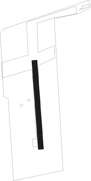
Runway info
| Runway 18 / 36 | ||
| length | 465m (1526ft) | |
| bearing | 180° / 0° | |
| width | 30m (98ft) | |
| surface | grass | |
Nearby beacons
| code | identifier | dist | bearing | frequency |
|---|---|---|---|---|
| NKR | NECKAR NDB | 3.5 | 66° | 292 |
| MND | DME | 11.4 | 319° | 113.55 |
| KRH | KARLSRUHE VOR/DME | 18.9 | 194° | 115.95 |
| RID | RIED VOR/DME | 29 | 346° | 112.20 |
| LBU | LUBURG VOR/DME | 35.6 | 120° | 109.20 |
| KBA | KARLSRUHE/BADEN-BADEN NDB | 37.5 | 228° | 431 |
| KBD | DME | 38.6 | 227° | 115.80 |
| CHA | CHARLIE VOR/DME | 39.9 | 32° | 115.35 |
| VFM | NAUHEIM VOR | 40.1 | 344° | 113.75 |
| FW | FRANKFURT NDB | 43 | 342° | 382 |
| SGD | DME | 43.1 | 137° | 115.45 |
| STG | STUTTGART VOR/DME | 43.4 | 135° | 116.85 |
| FRD | DME | 43.7 | 353° | 115.90 |
| FFM | FRANKFURT VORTAC | 45 | 358° | 114.20 |
| FR | FRANKFURT NDB | 45.7 | 2° | 297 |
| WIB | WIESBADEN TACAN | 46.5 | 335° | 114.10 |
| TGO | TANGO TACAN | 47.4 | 139° | 112.50 |
| SUL | SULZ VOR | 55.3 | 181° | 116.10 |
| SE | STRASBOURG NDB | 56.8 | 233° | 412 |
| MTR | METRO VOR | 58.8 | 11° | 110 |
| TAU | TAUNUS VOR/DME | 60 | 332° | 113.35 |
| LRD | DME | 65.3 | 221° | 108.05 |
| LHR | LAHR NDB | 66.4 | 222° | 337 |
Disclaimer
The information on this website is not for real aviation. Use this data with the X-Plane flight simulator only! Data taken with kind consent from X-Plane 12 source code and data files. Content is subject to change without notice.