Lüchow - Luechow Rehbeck
Airport details
| Country | Germany |
| State | Lower Saxony |
| Region | ED |
| Airspace | Bremen Ctr |
| Municipality | Lüchow |
| Elevation | 49ft (15m) |
| Timezone | GMT +1 |
| Coordinates | 53.01600, 11.14567 |
| Magnetic var | |
| Type | land |
| Available since | X-Plane v10.40 |
| ICAO code | EDHC |
| IATA code | n/a |
| FAA code | n/a |
Communication
| Luechow Rehbeck Luechow Info | 125.365 |
Nearby Points of Interest:
Amtsgericht Lüchow
-Christ Church (Krummasel)
-Protestant Church Zebelin
-Feldsteinkirche Trebel
-Village church Kietz (Lenzerwische)
-Village church Wootz
-Altes Zollhaus Hitzacker
-Burgwall von Meetschow
-St.-Katharinen-Kirche
-Alte Münze (Salzwedel)
-Amtsgericht Salzwedel
-Breite Straße
-St. Georg
-Dorfkirche Dambeck (Salzwedel)
-Dorfkirche Kläden
-Kirche Kapern
-Dorfkirche Kuhfelde
-Church of St. James (Nateln)
-Church Liesten
-Town hall in Arendsee
-Gustaf-Nagel-Areal
-Dorfkirche Zühlen
-Protestant Church
-Chapel of Our Lady in Oetzen
-Church of Winterfeld
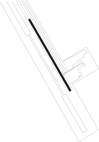
Runway info
| Runway 15 / 33 | ||
| length | 488m (1601ft) | |
| bearing | 141° / 321° | |
| width | 11m (36ft) | |
| surface | asphalt | |
Nearby beacons
| code | identifier | dist | bearing | frequency |
|---|---|---|---|---|
| BKD | BRUENKENDORF VOR/DME | 14.5 | 87° | 117.70 |
| PAH | SCHWERIN-PARCHIM NDB | 29.4 | 54° | 315 |
| PMD | DME | 33.6 | 57° | 117.50 |
| FSB | FASSBERG NDB | 35.1 | 264° | 284 |
| PI | SCHWERIN-PARCHIM NDB | 38.2 | 60° | 333 |
| HLZ | HEHLINGEN VOR/DME | 41.2 | 208° | 117.30 |
| BRU | BRAUNSCHWEIG-WOLFSBURG NDB | 46 | 218° | 427 |
| LYE | LUEBECK NDB | 49.8 | 330° | 394 |
| HAM | HAMBURG VORTAC | 52.4 | 305° | 113.10 |
Disclaimer
The information on this website is not for real aviation. Use this data with the X-Plane flight simulator only! Data taken with kind consent from X-Plane 12 source code and data files. Content is subject to change without notice.