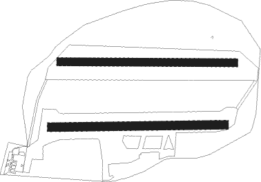
Uetersen
Airport details
| Country | Germany |
| State | Schleswig-Holstein |
| Region | ED |
| Airspace | Bremen Ctr |
| Municipality | Heist |
| Elevation | 20ft (6m) |
| Timezone | GMT +1 |
| Coordinates | 53.64700, 9.70417 |
| Magnetic var | |
| Type | land |
| Available since | X-Plane v10.40 |
| ICAO code | EDHE |
| IATA code | n/a |
| FAA code | n/a |
Communication
| Uetersen UETERSEN INFO | 122.705 |
Nearby Points of Interest:
Marseille-Kaserne
-Bauernmühle Uetersen
-Schwimmbad Uetersen
-Guerle-Villa
-Amtsgericht Uetersen
-Girls Citizen School
-Diermissen-Haus
-Bleeker-Haus
-Hauptpastorat (Uetersen)
-Kurbad W. Güthe
-Klevendeicher Drehbrücke
-Gut Seestermühe
-Reichspräsident-Ebert-Kaserne
-Vogthof
-Hof Behrmann
-Elbschloss-Brauerei
-Haus K. in O.
-Bewobau-Siedlung Quickborn
-Altes Rathaus Stade
-Victor-Andersen-Haus
-Villa de Freitas
-Grabhügel bei Hemdingen
-Lankenaustift
-Zeisehallen
-Hoop op Welvaart

Nearby beacons
| code | identifier | dist | bearing | frequency |
|---|---|---|---|---|
| ALF | DME | 10.3 | 92° | 115.80 |
| HAM | HAMBURG VORTAC | 17.9 | 86° | 113.10 |
| NDO | NORDHOLZ NDB | 32.9 | 279° | 372 |
| WSN | WESER NDB | 34.6 | 250° | 378 |
| LYE | LUEBECK NDB | 36.4 | 81° | 394 |
| HNT | HOHN TACAN | 40.2 | 346° | 115.30 |
| HN | HOHN NDB | 40.8 | 357° | 344 |
| HIG | BREMEN NDB | 45.8 | 233° | 318 |
| KIL | KIEL-HOLTENAU NDB | 46.2 | 30° | 353 |
| KHD | (HOLTENAU) DME-ILS | 46.6 | 31° | 109.50 |
| FSB | FASSBERG NDB | 47.2 | 147° | 284 |
| BND | DME | 49 | 237° | 113.65 |
| BMN | BREMEN VOR/DME | 49.4 | 238° | 117.45 |
| SWG | SCHLESWIG TACAN | 49.4 | 347° | 111.80 |
Disclaimer
The information on this website is not for real aviation. Use this data with the X-Plane flight simulator only! Data taken with kind consent from X-Plane 12 source code and data files. Content is subject to change without notice.