Werdohl - Werdohl-kuentrop
Airport details
| Country | Germany |
| State | North Rhine-Westphalia |
| Region | ED |
| Airspace | Langen Ctr |
| Municipality | Balve |
| Elevation | 1036ft (316m) |
| Timezone | GMT +1 |
| Coordinates | 51.29694, 7.81667 |
| Magnetic var | |
| Type | land |
| Available since | X-Plane v10.40 |
| ICAO code | EDKW |
| IATA code | n/a |
| FAA code | n/a |
Communication
| Werdohl-Kuentrop Werdohl Info | 118.005 |
Nearby Points of Interest:
Rathaus Werdohl
-Fabrikantenhaus von der Becke
-Beginenhof Deilinghofen
-Westig railway station
-Netter Dömchen
-Amtshaus Hemer
-Jewish cemetery, Altena
-Amtsgericht Plettenberg
-Villa Prinz
-Saint Anthony of Padua Church
-Iserlohn City Library
-Wichelhovenhaus
-Leiden Christi (Stockum)
-Villa Wessel
-Platehof
-Villa Klute
-Villa Ebbinghaus-Möllmann
-Hof Dümpel
-Villa Heutelbeck
-Werkssiedlung Langenstück
-Schlieperblock
-Saint Joseph Church
-Jüdischer Friedhof (Iserlohn)
-Teufelsturm
-Schützenhalle (Lüdenscheid)
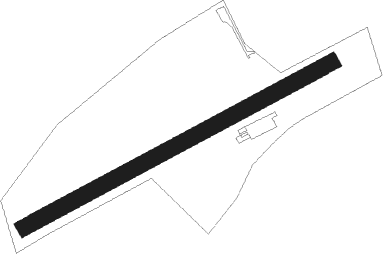
Runway info
| Runway 07 / 25 | ||
| length | 646m (2119ft) | |
| bearing | 75° / 255° | |
| width | 30m (98ft) | |
| surface | grass | |
Nearby beacons
| code | identifier | dist | bearing | frequency |
|---|---|---|---|---|
| GMH | GERMINGHAUSEN VOR/DME | 8.1 | 149° | 115.40 |
| DOR | WICKEDE (DORTMUND) VOR/DME | 15.3 | 321° | 108.65 |
| DWI | DORTMUND-WICKEDE NDB | 15.3 | 322° | 357 |
| BAM | BARMEN VOR/DME | 24 | 273° | 114 |
| WYP | WIPPER VOR | 25.1 | 245° | 109.60 |
| COL | COLA VOR/DME | 31.9 | 203° | 108.80 |
| LW | COLOGNE-BONN NDB | 32 | 235° | 300 |
| HMM | HAMM VOR/DME | 33.8 | 349° | 115.65 |
| BOT | BOTTROP NDB | 34.4 | 290° | 406 |
| LI | DUESSELDORF NDB | 34.8 | 273° | 417 |
| PAD | DME-ILS | 35.4 | 69° | 108.50 |
| LJ | COLOGNE-BONN NDB | 36 | 244° | 365 |
| KBO | COLOGNE-BONN VOR/DME | 36.3 | 237° | 112.15 |
| PAD | PADERBORN-LIPPSTADT NDB | 36.5 | 68° | 354 |
| LV | COLOGNE-BONN NDB | 36.7 | 229° | 327 |
| SLD | DME | 36.7 | 156° | 108.05 |
| SIL | SIEGERLAND NDB | 38.9 | 152° | 489 |
| MOD | DME | 50.7 | 351° | 114.05 |
| MYN | MUENSTER/OSNABRUECK NDB | 51.7 | 359° | 371 |
| OSB | OSNABRUCK TACAN | 56.9 | 27° | 108.35 |
| OSN | OSNABRUECK VOR | 56.9 | 27° | 114.30 |
Disclaimer
The information on this website is not for real aviation. Use this data with the X-Plane flight simulator only! Data taken with kind consent from X-Plane 12 source code and data files. Content is subject to change without notice.