Paderborn - Paderborn-haxterberg
Airport details
| Country | Germany |
| State | North Rhine-Westphalia |
| Region | ED |
| Airspace | Langen Ctr |
| Municipality | Paderborn |
| Elevation | 798ft (243m) |
| Timezone | GMT +1 |
| Coordinates | 51.68833, 8.77483 |
| Magnetic var | |
| Type | land |
| Available since | X-Plane v10.40 |
| ICAO code | EDLR |
| IATA code | n/a |
| FAA code | n/a |
Communication
| Paderborn-Haxterberg Haxterberg Info | 121.035 |
Nearby Points of Interest:
Leokonvikt Paderborn
-St Joseph House, Paderborn
-Historisches Rathaus
-Pesthaus
-Galluskapelle
-Ringelsbruch
-St. Georg (Oberntudorf)
-St. Peter und Paul
-Brunnenhaus der Liborius-Heilquelle
-St. Maria Magdalena (Husen)
-Church of the Beheading of St. John the Baptist
-Schloss Graffeln
-Kerkberg
-Bahnhof Buke
-Jüdischer Friedhof
-Niederburg
-Jagdschloss Hövelhof
-Haustenbecker Straße
-St. Vitus
-Rommenhöller-Denkmal
-Hardehausen Abbey
-Portalanlage
-Mariä Himmelfahrt
-Amtsgericht Horn
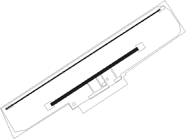
Runway info
Runway 06L / 24R  | ||
| length | 1097m (3599ft) | |
| bearing | 71° / 251° | |
| width | 6m (20ft) | |
| surface | concrete | |
| Runway 06 / 24 | ||
| length | 601m (1972ft) | |
| bearing | 71° / 251° | |
| width | 18m (59ft) | |
| surface | asphalt | |
Nearby beacons
| code | identifier | dist | bearing | frequency |
|---|---|---|---|---|
| PAD | PADERBORN-LIPPSTADT NDB | 6.3 | 244° | 354 |
| PAD | DME-ILS | 7.4 | 243° | 108.50 |
| WRB | WARBURG VOR/DME | 16.6 | 119° | 113.70 |
| DKS | DME-ILS | 28.4 | 113° | 111.50 |
| OSB | OSNABRUCK TACAN | 35.6 | 316° | 108.35 |
| OSN | OSNABRUECK VOR | 35.6 | 316° | 114.30 |
| BYC | BUECKEBURG NDB | 38 | 28° | 368 |
| FTZ | FRITZLAR NDB | 43.5 | 133° | 468 |
| GMH | GERMINGHAUSEN VOR/DME | 45.3 | 240° | 115.40 |
| MYN | MUENSTER/OSNABRUECK NDB | 45.8 | 296° | 371 |
| WUN | WUNSTORF TACAN | 51.9 | 40° | 114.85 |
| HW | HANNOVER NDB | 54.8 | 45° | 358 |
| DP | DIEPHOLZ NDB | 55.5 | 340° | 325 |
| HBD | DME | 56.4 | 49° | 116.90 |
| HAD | DME | 57.8 | 50° | 113.95 |
| NIE | NIENBURG VOR | 60.4 | 32° | 116.50 |
| SLD | DME | 64.5 | 215° | 108.05 |
Disclaimer
The information on this website is not for real aviation. Use this data with the X-Plane flight simulator only! Data taken with kind consent from X-Plane 12 source code and data files. Content is subject to change without notice.