Mindelheim - Mindelheim Mattsies
Airport details
| Country | Germany |
| State | Bavaria |
| Region | ED |
| Airspace | Munich Ctr |
| Municipality | Tussenhausen |
| Elevation | 1855ft (565m) |
| Timezone | GMT +1 |
| Coordinates | 48.11006, 10.52361 |
| Magnetic var | |
| Type | land |
| Available since | X-Plane v10.40 |
| ICAO code | EDMN |
| IATA code | n/a |
| FAA code | n/a |
Communication
| Mindelheim Mattsies MUNCHEN INFO | 126.950 |
| Mindelheim Mattsies Mindelheim Info | 122.975 |
Nearby Points of Interest:
Privatkapelle
-Pfarrhaus
-St. Vitus
-St. Georg (Mörgen)
-Unserer Lieben Frau
-Altes Rathaus
-St. Margareta (Egelhofen)
-Feldkapelle
-Lourdes chapel
-Schloss
-St. Magnus
-Pfarrhaus (Eppishausen)
-St. Anna (Spöck)
-Bildstock (Kirchheim in Schwaben)
-Pfarrhaus (Immelstetten)
-St. Georg (Mittelrieden)
-St. Martin
-Fronfeste
-Hungerturm (Mindelheim)
-Pfleghaus
-Kloster Herz Jesu (Mindelheim)
-Schloss Kirchheim in Schwaben
-Rathaus
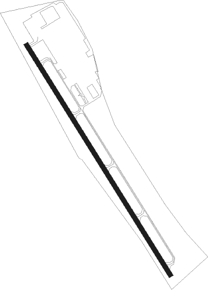
Runway info
| Runway 15 / 33 | ||
| length | 1202m (3944ft) | |
| bearing | 142° / 322° | |
| width | 20m (66ft) | |
| surface | asphalt | |
| displ threshold | 225m (738ft) / 209m (686ft) | |
Nearby beacons
| code | identifier | dist | bearing | frequency |
|---|---|---|---|---|
| ALG | ALLGAEU (MEMMINGEN) NDB | 12.4 | 247° | 341 |
| ALD | (MEMMINGEN/ALLGAU) DME | 13.8 | 247° | 117.20 |
| LCH | LECHFELD TACAN | 14.2 | 77° | 108.80 |
| KPT | KEMPTEN VOR/DME | 22.9 | 206° | 108.40 |
| AGB | AUGSBURG NDB | 24.9 | 52° | 318 |
| AUG | DME | 25.1 | 53° | 115.90 |
| LUP | LAUPHEIM NDB | 25.3 | 280° | 407 |
| OBI | OBERPFAFFENHOFEN NDB | 30.6 | 92° | 429 |
| MAH | MAISACH VOR/DME | 32.8 | 79° | 115.20 |
| WLD | WALDA VOR/DME | 37.1 | 52° | 112.80 |
| NEU | NEUBURG TACAN | 45.3 | 49° | 108.90 |
| RUM | RUM NDB | 62.9 | 132° | 320 |
| INN | INNSBRUCK NDB | 63.6 | 135° | 420 |
| PAT | DME | 66 | 134° | 112 |
Disclaimer
The information on this website is not for real aviation. Use this data with the X-Plane flight simulator only! Data taken with kind consent from X-Plane 12 source code and data files. Content is subject to change without notice.