Auerbach/vogtl. - Auerbach
Airport details
| Country | Germany |
| State | Saxony |
| Region | ED |
| Airspace | Munich Ctr |
| Municipality | Auerbach/Vogtland |
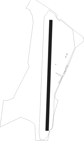
| Elevation | 1876ft (572m) |
| Timezone | GMT +1 |
| Coordinates | 50.49849, 12.37986 |
| Magnetic var | |
| Type | land |
| Available since | X-Plane v10.40 |
| ICAO code | EDOA |
| IATA code | n/a |
| FAA code | n/a |
Communication
| Auerbach Auerbach Info | 122.700 |
Nearby Points of Interest:
Schlossturm Auerbach
-Johann-Heinrich-Pestalozzi-Gymnasium Rodewisch
-Klopfermühle
-Mosenturm
-Talsperre Wolfersgrün
-Plauen railway station
-Stadtkirche Mylau
-Göltzschtalbrücke railway station
-castle of Plauen
-Town hall (Oelsnitz)
-Kirchberg station
-Filzteich
-Kirche Taltitz
-Silberschmelzhütte St. Georgen
-Hradiště
-Salvatorkirche Weißbach
-Dorfkirche Zschorlau
-Bohland a Fuchs factory in Kraslice
-Lipová cesta 17
-Vila of Wilhelm Fuchs in Kraslice
-Rathaus Schneeberg
-Cemetery chapel in Kraslice
-Rittergut Kürbitz
-Former slaughter house in Kraslice
-Dorfkirche Fraureuth
Nearby beacons
| code | identifier | dist | bearing | frequency |
|---|---|---|---|---|
| OKG | CHEB VOR/DME | 26 | 177° | 115.70 |
| L | VRATA (KARLOVY VARY) NDB | 28.1 | 118° | 365 |
| AGD | DME | 29.5 | 15° | 115.30 |
| ABU | ALTENBURG NDB | 30.2 | 16° | 330 |
| BAY | BAYREUTH VOR | 42 | 235° | 110.60 |
| GRW | GRAFENWOHR NDB | 51.1 | 209° | 405 |
| GRF | GRAFENWOHR TACAN | 51.3 | 209° | 111.80 |
| SKZ | SCHKEUDITZ (LEIPZIG-HALLE) NDB | 55.1 | 353° | 357 |
| LLD | SOUTH(LEIPZIG- DME | 55.3 | 351° | 112.15 |
| ZIG | LEIPZIG NDB | 56.3 | 354° | 340 |
| LEG | LEIPZIG VOR/DME | 56.4 | 6° | 115.85 |
| LND | NORTH(LEIPZIG- DME | 56.5 | 351° | 113.50 |
| GOT | GOTEM VOR/DME | 58.7 | 317° | 115.25 |
Disclaimer
The information on this website is not for real aviation. Use this data with the X-Plane flight simulator only! Data taken with kind consent from X-Plane 12 source code and data files. Content is subject to change without notice.