Luesse
Airport details
| Country | Germany |
| State | Brandenburg |
| Region | ED |
| Airspace | Bremen Ctr |
| Municipality | Bad Belzig |
| Elevation | 213ft (65m) |
| Timezone | GMT +1 |
| Coordinates | 52.14417, 12.66967 |
| Magnetic var | |
| Type | land |
| Available since | X-Plane v10.45 |
| ICAO code | EDOJ |
| IATA code | n/a |
| FAA code | n/a |
Communication
| Luesse Lüsse Info | 129.975 |
Nearby Points of Interest:
Lüsse church
-Neschholz church
-Kuhlowitz church
-Mörz church
-Preussnitz church
-Schwanebeck church
-Church of the teutonic order in Dahnsdorf
-Dorfkirche Rottstock
-Niemegk town hall
-Village church Haseloff
-Bergholz church
-Dorfkirche Lübnitz
-Borne church
-Village church Schlalach
-Ragoesen church
-Zixdorf church
-Stadtpark Treuenbrietzen
-Church in Brachwitz (Treuenbrietzen)
-St. Marien
-Dorfkirche Jeserig (Fläming)
-Village church Buchholz (Beelitz)
-Village church Salzbrunn (Beelitz)
-Dorfkirche Dahlen
-Dorfkirche (Reesdorf)
-Reetz church
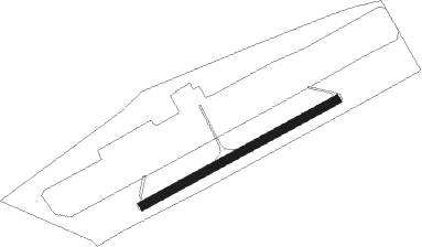
Runway info
| Runway 06 / 24 | ||
| length | 1021m (3350ft) | |
| bearing | 75° / 255° | |
| width | 40m (131ft) | |
| surface | grass | |
Nearby beacons
| code | identifier | dist | bearing | frequency |
|---|---|---|---|---|
| HOZ | HOLZDORF NDB | 27.4 | 131° | 406 |
| HOZ | HOLZDORF TACAN | 29.9 | 125° | 117.25 |
| BBI | BERLIN BRANDENBURG VOR/DME | 31.1 | 76° | 114.10 |
| MAG | MAGDEBURG VOR/DME | 33.5 | 260° | 110.45 |
| SDD | DME | 33.6 | 75° | 114.40 |
| KLF | KLASDORF VOR/DME | 33.8 | 98° | 115.15 |
| LEG | LEIPZIG VOR/DME | 43.1 | 195° | 115.85 |
| ZIG | LEIPZIG NDB | 45 | 209° | 340 |
| LND | NORTH(LEIPZIG- DME | 45.7 | 212° | 113.50 |
| SKZ | SCHKEUDITZ (LEIPZIG-HALLE) NDB | 46.2 | 209° | 357 |
| LLD | SOUTH(LEIPZIG- DME | 46.7 | 211° | 112.15 |
| LWB | LOEWENBERG VOR/DME | 49 | 31° | 114.55 |
Disclaimer
The information on this website is not for real aviation. Use this data with the X-Plane flight simulator only! Data taken with kind consent from X-Plane 12 source code and data files. Content is subject to change without notice.