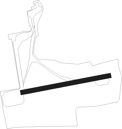
Rhinow - Stölln/rhinow
Airport details
| Country | Germany |
| State | Brandenburg |
| Region | ED |
| Airspace | Bremen Ctr |
| Municipality | Rhinow |
| Elevation | 129ft (39m) |
| Timezone | GMT +1 |
| Coordinates | 52.74111, 12.39000 |
| Magnetic var | |
| Type | land |
| Available since | X-Plane v10.40 |
| ICAO code | EDOR |
| IATA code | n/a |
| FAA code | n/a |
Communication
| Stölln/Rhinow Stölln Info | 122.000 |
Nearby Points of Interest:
Dorfkirche Spaatz
-Dorfkirche Kleßen
-Dorfkirche Sieversdorf (Sieversdorf-Hohenofen)
-Dorfkirche Kotzen
-Village church Kriele
-Rathenower Refraktor
-Zernitz station
-St. Peter and Paul Wusterhausen
-Dorfkirche Stüdenitz
-Dorfkirche Wagenitz
-Protestant Church (Kamern)
-Village church Holzhausen (Kyritz)
-Dorfkirche Buckow (Nennhausen)
-Protestant Church Wulkau
-Village church Garlitz (Havelland)
-Burgwall Wildberg (Temnitztal)
-Stadtkirche St. Laurentius (Havelberg)
-Village church Brunne
-Village church Paulinenaue
-Steinstraße 4
-Village church Kerzlin
-Protestant Church (Klietz)
-Village church Kantow
-Kirchenruine Käcklitz
-Dorfkirche Gottberg
Nearby beacons
| code | identifier | dist | bearing | frequency |
|---|---|---|---|---|
| LWB | LOEWENBERG VOR/DME | 28.8 | 77° | 114.55 |
| BKD | BRUENKENDORF VOR/DME | 35.2 | 289° | 117.70 |
| PMD | DME | 46.5 | 319° | 117.50 |
| PI | SCHWERIN-PARCHIM NDB | 46.6 | 326° | 333 |
| PAH | SCHWERIN-PARCHIM NDB | 47.1 | 312° | 315 |
| MAG | MAGDEBURG VOR/DME | 49.8 | 219° | 110.45 |
| CB | COCHSTEDT NDB | 63.1 | 227° | 344 |
| HOZ | HOLZDORF NDB | 63.8 | 144° | 406 |
| HOZ | HOLZDORF TACAN | 65.6 | 140° | 117.25 |
Disclaimer
The information on this website is not for real aviation. Use this data with the X-Plane flight simulator only! Data taken with kind consent from X-Plane 12 source code and data files. Content is subject to change without notice.