Linkenheim
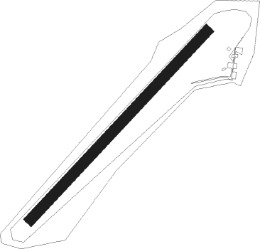
Airport details
| Country | Germany |
| State | Baden-Württemberg |
| Region | ED |
| Airspace | Langen Ctr |
| Municipality | Linkenheim-Hochstetten |
| Elevation | 325ft (99m) |
| Timezone | GMT +1 |
| Coordinates | 49.14111, 8.39472 |
| Magnetic var | |
| Type | land |
| Available since | X-Plane v10.40 |
| ICAO code | EDRI |
| IATA code | n/a |
| FAA code | n/a |
Communication
| Linkenheim Linkenheim Info | 124.010 |
Nearby Points of Interest:
Synagogue (Rülzheim)
-Jagdschloss Friedrichsbühl
-Castra of Wagbach
-St. Maria Himmelfahrt (Herxheim bei Landau/Pfalz)
-Obergrombacher Straße 32
-Mackensen-Kaserne
-Bahnhof Lustadt
-Verwaltungsgericht Karlsruhe
-Landgericht Karlsruhe
-Schlossplatz
-Schwedenpalais
-Baischstraße
-Rathaus West
-Leibgrenadierdenkmal
-Rathaus Karlsruhe
-Veilchenstraße 23, Karlsruhe
-Markgräfliches Palais
-Erbgroßherzogliches Palais
-Amtsgericht Bruchsal
-Landratsamt Karlsruhe
-Verwaltungsgebäude der LVA Baden
-Weingarten Town Hall
-Brunnenstraße 8 (Obergrombach)
-Rathaus Offenbach an der Queich
-Amtsgericht Karlsruhe-Durlach
Nearby beacons
| code | identifier | dist | bearing | frequency |
|---|---|---|---|---|
| KRH | KARLSRUHE VOR/DME | 11.6 | 128° | 115.95 |
| NKR | NECKAR NDB | 17.7 | 60° | 292 |
| MND | DME | 20.3 | 20° | 113.55 |
| KBA | KARLSRUHE/BADEN-BADEN NDB | 23.7 | 221° | 431 |
| KBD | DME | 24.8 | 220° | 115.80 |
| RMS | RAMSTEIN TACAN | 36.2 | 290° | 113.40 |
| ZWN | ZWEIBRUECKEN VOR/DME | 38.7 | 275° | 114.80 |
| RID | RIED VOR/DME | 38.8 | 13° | 112.20 |
| LBU | LUBURG VOR/DME | 39.6 | 104° | 109.20 |
| SGD | DME | 42.5 | 119° | 115.45 |
| SAV | SAVERNE VOR/DME | 42.6 | 250° | 110.45 |
| SE | STRASBOURG NDB | 42.6 | 231° | 412 |
| STG | STUTTGART VOR/DME | 43.2 | 117° | 116.85 |
| TGO | TANGO TACAN | 46.3 | 121° | 112.50 |
| SUL | SULZ VOR | 46.6 | 162° | 116.10 |
| VFM | NAUHEIM VOR | 49.3 | 5° | 113.75 |
| STR | STRASBOURG ENTZHEIM VOR/DME | 50.1 | 232° | 115.60 |
| LRD | DME | 51.7 | 216° | 108.05 |
| FW | FRANKFURT NDB | 51.8 | 2° | 382 |
| LHR | LAHR NDB | 52.9 | 216° | 337 |
| CHA | CHARLIE VOR/DME | 53.1 | 40° | 115.35 |
| FRD | DME | 53.7 | 11° | 115.90 |
| WIB | WIESBADEN TACAN | 54.4 | 355° | 114.10 |
| FFM | FRANKFURT VORTAC | 55.6 | 15° | 114.20 |
| FR | FRANKFURT NDB | 56.6 | 17° | 297 |
Disclaimer
The information on this website is not for real aviation. Use this data with the X-Plane flight simulator only! Data taken with kind consent from X-Plane 12 source code and data files. Content is subject to change without notice.