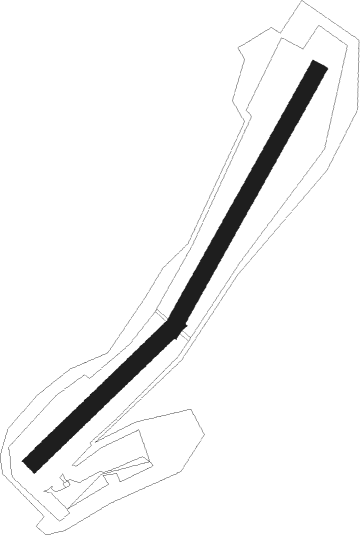
Bad Sobernheim
Airport details
| Country | Germany |
| State | Rhineland-Palatinate |
| Region | ED |
| Airspace | Langen Ctr |
| Municipality | Bad Sobernheim |
| Elevation | 810ft (247m) |
| Timezone | GMT +1 |
| Coordinates | 49.79083, 7.66583 |
| Magnetic var | |
| Type | land |
| Available since | X-Plane v10.32 |
| ICAO code | EDRS |
| IATA code | n/a |
| FAA code | n/a |
Communication
| Bad Sobernheim Sobernheim Info | 118.930 |
Nearby Points of Interest:
Bahnhof Odernheim (Glan)
-Gut Hermannsberg in Niederhausen (Nahe)
-Stausee Niederhausen
-Evangelische Kirche Obermoschel
-Jüdischer Friedhof
-Protestant Church
-Burg Rotenberg (Dhaun)
-Synagoge Odenbach
-Burg Odenbach
-Burg Treuenfels
-Kirche Hochstätten
-Bahnhof Ebernburg
-Rittergut Bangert
-Protestantische Kirche
-Alte Nahebrücke (Bad Kreuznach)
-Steinkallenfels Castle
-Schloss Lauterecken
-Burg Grumbach
-Synagoge Waldhilbersheim
-Alter Bahnhof
-Jüdischer Friedhof Dörrebach
-Kurhaus Stromberg
-Jüdischer Friedhof Seibersbach
-Evangelische Kirche Genheim
-Gasthaus „Zum Hohenzollern“

Nearby beacons
| code | identifier | dist | bearing | frequency |
|---|---|---|---|---|
| FHH | DME | 18.1 | 290° | 117.35 |
| HAN | HAHN NDB | 18.1 | 294° | 376 |
| RMS | RAMSTEIN TACAN | 21.6 | 193° | 113.40 |
| WIB | WIESBADEN TACAN | 29.2 | 68° | 114.10 |
| FW | FRANKFURT NDB | 32.2 | 74° | 382 |
| BUE | BUECHEL TACAN | 32.7 | 303° | 117.10 |
| VFM | NAUHEIM VOR | 32.8 | 78° | 113.75 |
| TAU | TAUNUS VOR/DME | 33.6 | 47° | 113.35 |
| RID | RIED VOR/DME | 33.9 | 91° | 112.20 |
| ZWN | ZWEIBRUECKEN VOR/DME | 35 | 204° | 114.80 |
| FRD | DME | 37.7 | 75° | 115.90 |
| MND | DME | 38.2 | 111° | 113.55 |
| SR | ENSHEIM (SAARBRUECKEN) NDB | 38.5 | 218° | 360 |
| SPA | SPANGDAHLEM TACAN | 39.1 | 281° | 109.50 |
| FFM | FRANKFURT VORTAC | 40.7 | 75° | 114.20 |
| SAD | DME | 40.8 | 224° | 116.75 |
| SIL | SIEGERLAND NDB | 56.4 | 28° | 489 |
| SLD | DME | 57.2 | 24° | 108.05 |
| COL | COLA VOR/DME | 59.6 | 356° | 108.80 |
| KRH | KARLSRUHE VOR/DME | 59.8 | 131° | 115.95 |
| SAV | SAVERNE VOR/DME | 60.3 | 192° | 110.45 |
| GTQ | GROSTENQUIN VOR/DME | 60.9 | 230° | 111.25 |
| KBA | KARLSRUHE/BADEN-BADEN NDB | 61.9 | 156° | 431 |
Disclaimer
The information on this website is not for real aviation. Use this data with the X-Plane flight simulator only! Data taken with kind consent from X-Plane 12 source code and data files. Content is subject to change without notice.