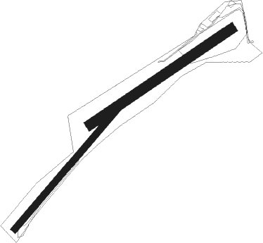
Bexbach
Airport details
| Country | Germany |
| State | Saarland |
| Region | |
| Airspace | Langen Ctr |
| Municipality | Bexbach |
| Elevation | 892ft (272m) |
| Timezone | GMT +1 |
| Coordinates | 49.33619, 7.24663 |
| Magnetic var | |
| Type | land |
| Available since | X-Plane v10.40 |
| ICAO code | EDRX |
| IATA code | n/a |
| FAA code | n/a |
Communication
| Bexbach Bexbach Info | 123.050 |
Nearby Points of Interest:
Alte Schmiede (Wellesweiler)
-Elisabethkirche (Limbach (Kirkel))
-Renaissanceschloss Neunkirchen
-Steel plant in Neunkirchen
-Friedenskirche
-Evangelische Kirche
-Bahnmeisterei Homburg
-Herz-Jesu-Kirche
-Evangelical Church
-Amtsgericht Ottweiler
-Maria Geburt
-Protestant Church (Hassel, Saar)
-Synagoge
-Jüdischer Friedhof
-St. Maria
-Eichelscheiderhof
-St. Marien
-St. Josef
-Protestantische Kirche
-Former synagogue (Sankt Ingbert)
-Pfarrgaßschulhaus
-Schönenberg-Kübelberg railway station
-Villa Wagner
-St. Ludwigkirche
-St. Anna

Nearby beacons
| code | identifier | dist | bearing | frequency |
|---|---|---|---|---|
| SR | ENSHEIM (SAARBRUECKEN) NDB | 7.1 | 193° | 360 |
| SAD | DME | 9 | 227° | 116.75 |
| ZWN | ZWEIBRUECKEN VOR/DME | 9.2 | 122° | 114.80 |
| RMS | RAMSTEIN TACAN | 14.5 | 74° | 113.40 |
| GTQ | GROSTENQUIN VOR/DME | 29.5 | 237° | 111.25 |
| SAV | SAVERNE VOR/DME | 33.3 | 160° | 110.45 |
| PHG | PHALSBOURG NDB | 34.2 | 185° | 424 |
| FHH | DME | 36.3 | 1° | 117.35 |
| HAN | HAHN NDB | 37.7 | 3° | 376 |
| ELU | LUXEMBOURG NDB | 40.4 | 291° | 368 |
| LE | LUXEMBOURG NDB | 43 | 287° | 318 |
| LUX | LUXEMBOURG VOR/DME | 43 | 287° | 112.25 |
| LOU | LORRAINE NDB | 43.3 | 251° | 388 |
| SPA | SPANGDAHLEM TACAN | 44.1 | 320° | 109.50 |
| KBA | KARLSRUHE/BADEN-BADEN NDB | 46.5 | 122° | 431 |
| KBD | DME | 47 | 123° | 115.80 |
| SE | STRASBOURG NDB | 48.5 | 148° | 412 |
| BUE | BUECHEL TACAN | 51 | 348° | 117.10 |
| STR | STRASBOURG ENTZHEIM VOR/DME | 51.5 | 159° | 115.60 |
| LRD | DME | 62.7 | 149° | 108.05 |
| LHR | LAHR NDB | 63.3 | 150° | 337 |
| TAU | TAUNUS VOR/DME | 65.3 | 45° | 113.35 |
Disclaimer
The information on this website is not for real aviation. Use this data with the X-Plane flight simulator only! Data taken with kind consent from X-Plane 12 source code and data files. Content is subject to change without notice.