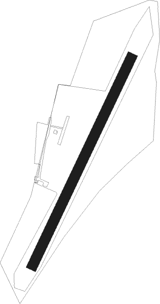
Kehl - Kehl-sundheim
Airport details
| Country | Germany |
| State | Baden-Württemberg |
| Region | ED |
| Airspace | Langen Ctr |
| Municipality | Kehl |
| Elevation | 452ft (138m) |
| Timezone | GMT +1 |
| Coordinates | 48.56167, 7.84389 |
| Magnetic var | |
| Type | land |
| Available since | X-Plane v10.40 |
| ICAO code | EDSK |
| IATA code | n/a |
| FAA code | n/a |
Communication
| Kehl-Sundheim Kehl Info | 122.750 |
Nearby Points of Interest:
Citadelle de Strasbourg
-Maison au 2, rue des Fleurs à Strasbourg
-Hôtel Brion
-Villa Faist
-Maison au 3 allée Kastner à Strasbourg
-Villa Schutzenberger
-Villa au 13, rue Fischart à Strasbourg
-Maison au 15, rue Mélanie à Strasbourg
-56, Allée de la Robertsau
-Maison aux 6, place Saint-Nicolas-aux-Ondes et 6, rue des Balayeurs à Strasbourg
-Cité-jardin du Stockfeld
-Maison au 2, rue de l'Abreuvoir à Strasbourg
-Immeuble au 26, allée de la Robertsau à Strasbourg
-maison Bowe
-Ancien magasin Neunreiter
-Immeuble au 37, allée de la Robertsau à Strasbourg
-Hôpital militaire Gaujot
-Propriété Schranz
-Villa Stempel
-Maison au 8, rue des Poules à Strasbourg
-Maison au 6, rue du Renard-Prêchant à Strasbourg
-Manufacture des Tabacs de Strasbourg
-Krimmeri signal box
-Maison au 40, quai des Bateliers à Strasbourg
-enceinte de Strasbourg
Nearby beacons
| code | identifier | dist | bearing | frequency |
|---|---|---|---|---|
| SE | STRASBOURG NDB | 5.3 | 282° | 412 |
| STR | STRASBOURG ENTZHEIM VOR/DME | 11.3 | 258° | 115.60 |
| LRD | DME | 11.8 | 185° | 108.05 |
| LHR | LAHR NDB | 12.8 | 189° | 337 |
| KBD | DME | 16.3 | 48° | 115.80 |
| KBA | KARLSRUHE/BADEN-BADEN NDB | 17.3 | 47° | 431 |
| SAV | SAVERNE VOR/DME | 21 | 301° | 110.45 |
| PHG | PHALSBOURG NDB | 28.3 | 288° | 424 |
| HO | COLMAR-HOUSSEN NDB | 32 | 228° | 380 |
| SUL | SULZ VOR | 33.6 | 103° | 116.10 |
| KRH | KARLSRUHE VOR/DME | 39.1 | 60° | 115.95 |
| ZWN | ZWEIBRUECKEN VOR/DME | 43.4 | 327° | 114.80 |
| SR | ENSHEIM (SAARBRUECKEN) NDB | 46.4 | 316° | 360 |
| SAD | DME | 48.5 | 312° | 116.75 |
| RMS | RAMSTEIN TACAN | 53.4 | 344° | 113.40 |
| BN | BASLE-MULHOUSE NDB | 55.9 | 202° | 353 |
| BLM | BASLE-MULHOUSE VOR/DME | 57.4 | 200° | 117.45 |
| TRA | DME | 57.5 | 146° | 114.30 |
| NKR | NECKAR NDB | 58.2 | 49° | 292 |
| BS | BASLE-MULHOUSE NDB | 60.2 | 197° | 376 |
| MND | DME | 60.6 | 36° | 113.55 |
| ZUE | ZURICH EAST VOR/DME | 70.1 | 135° | 110.05 |
Disclaimer
The information on this website is not for real aviation. Use this data with the X-Plane flight simulator only! Data taken with kind consent from X-Plane 12 source code and data files. Content is subject to change without notice.