Herrenberg - Poltringen
Airport details
| Country | Germany |
| State | Baden-Württemberg |
| Region | |
| Airspace | Langen Ctr |
| Municipality | Ammerbuch |
| Elevation | 1314ft (401m) |
| Timezone | GMT +1 |
| Coordinates | 48.54882, 8.94568 |
| Magnetic var | |
| Type | land |
| Available since | X-Plane v10.40 |
| ICAO code | EDSP |
| IATA code | n/a |
| FAA code | n/a |
Communication
| Poltringen Poltringen Info | 123.050 |
Nearby Points of Interest:
Spitalkirche Herrenberg
-Burg Rohrau
-Karmelitenkloster Rottenburg
-St. Moriz
-Kornhaus
-Thiepval-Kaserne
-Schwabenhaus
-Schloss Gärtringen
-Aufbaugymnasium Nagold
-Wasserkraftwerk Nagold
-Alte Feuerwache (Reutlingen)
-Gasthaus Rössle (Trillfingen)
-Eiermann campus
-Hölzersee
-Gutenhalde
-Category:St Anna Church (Haigerloch)
-Universitätssternwarte Pfaffenwald
-Stadtmauer Grötzingen
-Motorworld Manufaktur Metzingen
-St. Ulrich (Thanheim)
-Schwabtunnel
-Villa Kienlin, Stuttgart
-Furtbachhaus
-Weissenburgstr. 2 B, Stuttgart
-Tagblatt-Turm
Runway info
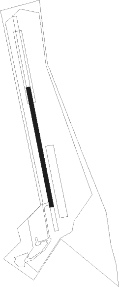
| Runway 17 / 35 | ||
| length | 401m (1316ft) | |
| bearing | 170° / 350° | |
| width | 15m (48ft) | |
| surface | asphalt | |
Nearby beacons
| code | identifier | dist | bearing | frequency |
|---|---|---|---|---|
| TGO | TANGO TACAN | 13.1 | 77° | 112.50 |
| SGD | DME | 13.8 | 63° | 115.45 |
| STG | STUTTGART VOR/DME | 15.1 | 65° | 116.85 |
| SUL | SULZ VOR | 15.6 | 241° | 116.10 |
| LBU | LUBURG VOR/DME | 26.8 | 47° | 109.20 |
| KRH | KARLSRUHE VOR/DME | 30.2 | 321° | 115.95 |
| KBD | DME | 36.7 | 285° | 115.80 |
| KBA | KARLSRUHE/BADEN-BADEN NDB | 36.8 | 286° | 431 |
| LUP | LAUPHEIM NDB | 43.3 | 109° | 407 |
| SHD | HALL DME | 47.3 | 56° | 108.05 |
| NKR | NECKAR NDB | 48 | 345° | 292 |
| TRA | DME | 55.4 | 211° | 114.30 |
| FHD | DME | 57.4 | 148° | 112.60 |
| ZUE | ZURICH EAST VOR/DME | 57.6 | 188° | 110.05 |
| MND | DME | 57.8 | 335° | 113.55 |
Disclaimer
The information on this website is not for real aviation. Use this data with the X-Plane flight simulator only! Data taken with kind consent from X-Plane 12 source code and data files. Content is subject to change without notice.