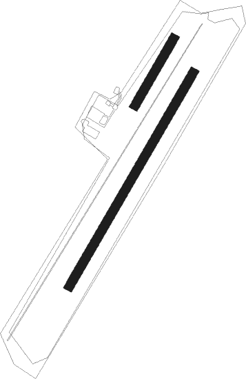
Baden-baden - Baden-baden Oos
Airport details
| Country | Germany |
| State | Baden-Württemberg |
| Region | ED |
| Airspace | Langen Ctr |
| Municipality | Baden-Baden |
| Elevation | 410ft (125m) |
| Timezone | GMT +1 |
| Coordinates | 48.79183, 8.18667 |
| Magnetic var | |
| Type | land |
| Available since | X-Plane v10.40 |
| ICAO code | EDTB |
| IATA code | n/a |
| FAA code | n/a |
Communication
| Baden-Baden Oos Oos Info | 121.000 |
Nearby Points of Interest:
Alter Bahnhof
-Baden-Baden
-Amtsgericht Gernsbach
-banc-reposoir de Rœschwoog
-Jakobskirche Gernsbach
-Bühlerhöhe
-Jewish cemetery of Niederroedern
-Herrenalb Abbey
-Upper Rhine
-Town hall of Lauterbourg
-St. Martin
-Karlsruhe Observatory
-Gartenhalle
-Basilique Notre-Dame de Marienthal
-Ancienne maison Muntz
-Verwaltungsgebäude der LVA Baden
-Monastery Surbourg
-Erbgroßherzogliches Palais
-Rathaus West
-Landratsamt Karlsruhe
-Verwaltungsgericht Karlsruhe
-Baischstraße
-Leibgrenadierdenkmal
-Markgräfliches Palais

Nearby beacons
| code | identifier | dist | bearing | frequency |
|---|---|---|---|---|
| KBA | KARLSRUHE/BADEN-BADEN NDB | 3.5 | 274° | 431 |
| KBD | DME | 3.9 | 263° | 115.80 |
| KRH | KARLSRUHE VOR/DME | 19.8 | 63° | 115.95 |
| SE | STRASBOURG NDB | 22.3 | 247° | 412 |
| SAV | SAVERNE VOR/DME | 29.2 | 270° | 110.45 |
| LRD | DME | 29.3 | 220° | 108.05 |
| STR | STRASBOURG ENTZHEIM VOR/DME | 29.8 | 245° | 115.60 |
| LHR | LAHR NDB | 30.5 | 220° | 337 |
| SUL | SULZ VOR | 30.6 | 132° | 116.10 |
| PHG | PHALSBOURG NDB | 39 | 269° | 424 |
| NKR | NECKAR NDB | 39.1 | 45° | 292 |
| ZWN | ZWEIBRUECKEN VOR/DME | 40 | 300° | 114.80 |
| MND | DME | 42.7 | 26° | 113.55 |
| RMS | RAMSTEIN TACAN | 45.2 | 317° | 113.40 |
| SR | ENSHEIM (SAARBRUECKEN) NDB | 45.8 | 294° | 360 |
| HO | COLMAR-HOUSSEN NDB | 51.2 | 231° | 380 |
| RID | RIED VOR/DME | 61 | 20° | 112.20 |
Disclaimer
The information on this website is not for real aviation. Use this data with the X-Plane flight simulator only! Data taken with kind consent from X-Plane 12 source code and data files. Content is subject to change without notice.