Freiburg Im Breisgau - Freiburg - Breisgau
Airport details
| Country | Germany |
| State | Baden-Württemberg |
| Region | ED |
| Airspace | Langen Ctr |
| Municipality | Freiburg im Breisgau |
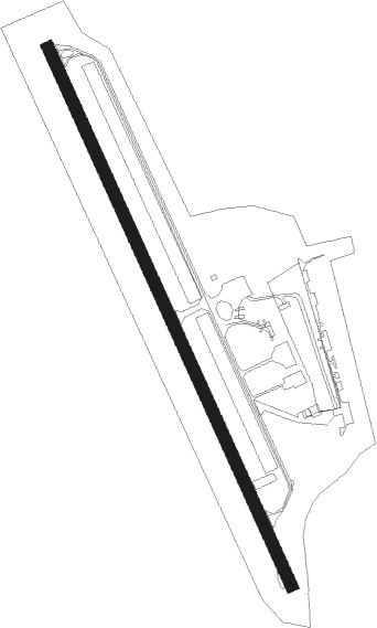
| Elevation | 798ft (243m) |
| Timezone | GMT +1 |
| Coordinates | 48.02089, 7.83490 |
| Magnetic var | |
| Type | land |
| Available since | X-Plane v10.40 |
| ICAO code | EDTF |
| IATA code | n/a |
| FAA code | n/a |
Communication
| Freiburg - Breisgau Freiburg Info | 118.255 |
Nearby Points of Interest:
St. Elisabeth
-Colombischlössle Freiburg
-The Whale House
-Wentzingerhaus Freiburg
-Breisach's Gate
-Dreikönigshaus
-Seventh-day Adventist Church in Freiburg
-Stadthalle Freiburg im Breisgau
-St. Georg
-Jüdischer Friedhof
-Urgraben
-St. Märgen's Abbey
-Gare de Volgelsheim
-Schloss Sulzburg
-Vicus gallo-romain de l'Oedenbourg
-Hôtel de ville de Neuf-Brisach
-Ramparts of Neuf-Brisach
-Place d'Armes-Général-de-Gaulle
-Caserne Serano
-caserne Suzonni
-Arsenal de Neuf-Brisach
-Jewish cemetery in Mackenheim
-Cité paysanne de Marckolsheim
-Synagogue of Mackenheim
-Evangelical Church
Nearby beacons
| code | identifier | dist | bearing | frequency |
|---|---|---|---|---|
| LHR | LAHR NDB | 19.7 | 356° | 337 |
| HO | COLMAR-HOUSSEN NDB | 19.9 | 284° | 380 |
| LRD | DME | 20.6 | 359° | 108.05 |
| BN | BASLE-MULHOUSE NDB | 25.9 | 225° | 353 |
| BLM | BASLE-MULHOUSE VOR/DME | 26.9 | 221° | 117.45 |
| BS | BASLE-MULHOUSE NDB | 29.1 | 214° | 376 |
| STR | STRASBOURG ENTZHEIM VOR/DME | 30.9 | 332° | 115.60 |
| TRA | DME | 31.3 | 119° | 114.30 |
| HOC | DME | 33.9 | 197° | 113.20 |
| SE | STRASBOURG NDB | 34.4 | 348° | 412 |
| SUL | SULZ VOR | 38.9 | 66° | 116.10 |
| KLO | KLOTEN (ZURICH) VOR/DME | 44.3 | 128° | 114.85 |
| KBD | DME | 46.7 | 18° | 115.80 |
| ZUE | ZURICH EAST VOR/DME | 47.2 | 114° | 110.05 |
| KBA | KARLSRUHE/BADEN-BADEN NDB | 47.8 | 19° | 431 |
| MB | MONTBELIARD NDB | 48.1 | 240° | 330 |
| SAV | SAVERNE VOR/DME | 49 | 333° | 110.45 |
| WIL | WILLISAU VOR/DME | 50.6 | 175° | 116.90 |
| PHG | PHALSBOURG NDB | 51.4 | 320° | 424 |
| GRE | GRENCHEN VOR/DME | 53 | 206° | 115.45 |
| KRH | KARLSRUHE VOR/DME | 65.5 | 38° | 115.95 |
Disclaimer
The information on this website is not for real aviation. Use this data with the X-Plane flight simulator only! Data taken with kind consent from X-Plane 12 source code and data files. Content is subject to change without notice.