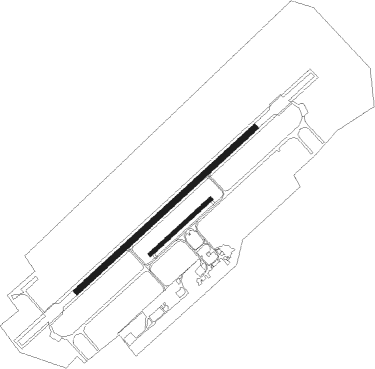
Bremgarten
Airport details
| Country | Germany |
| State | Baden-Württemberg |
| Region | ED |
| Airspace | Langen Ctr |
| Municipality | Eschbach |
| Elevation | 693ft (211m) |
| Timezone | GMT +1 |
| Coordinates | 47.90317, 7.61783 |
| Magnetic var | |
| Type | land |
| Available since | X-Plane v10.40 |
| ICAO code | EDTG |
| IATA code | n/a |
| FAA code | n/a |
Communication
| Bremgarten Bremgarten Info | 124.030 |
Nearby Points of Interest:
Schloss Sulzburg
-Gare de Volgelsheim
-Caserne Serano
-Hôtel de ville de Neuf-Brisach
-Place d'Armes-Général-de-Gaulle
-Arsenal de Neuf-Brisach
-Ramparts of Neuf-Brisach
-caserne Suzonni
-Maison au 53 rue du Général-de-Gaulle à Ottmarsheim
-St. Georg
-Evangelical Church
-Vicus gallo-romain de l'Oedenbourg
-Ferme de Niederhergheim
-Motte castrale de Meyenheim
-Seventh-day Adventist Church in Freiburg
-Breisach's Gate
-Colombischlössle Freiburg
-Maison au 13, rue de la Première-Armée-Française à Ensisheim
-Maison au 19, rue du Rempart à Ensisheim
-Maison au 4, rue de l'Église à Ensisheim
-The Whale House
-Auberge de la Couronne
-Town hall of Ensisheim
-Palais de la Régence, Ensisheim
-Wentzingerhaus Freiburg

Nearby beacons
| code | identifier | dist | bearing | frequency |
|---|---|---|---|---|
| BN | BASLE-MULHOUSE NDB | 15.5 | 210° | 353 |
| BLM | BASLE-MULHOUSE VOR/DME | 16.9 | 204° | 117.45 |
| HO | COLMAR-HOUSSEN NDB | 17.1 | 312° | 380 |
| BS | BASLE-MULHOUSE NDB | 19.7 | 194° | 376 |
| HOC | DME | 26.2 | 174° | 113.20 |
| LHR | LAHR NDB | 27.8 | 23° | 337 |
| LRD | DME | 28.9 | 24° | 108.05 |
| TRA | DME | 35.4 | 105° | 114.30 |
| STR | STRASBOURG ENTZHEIM VOR/DME | 36.2 | 356° | 115.60 |
| MB | MONTBELIARD NDB | 36.8 | 240° | 330 |
| HR | HERICOURT NDB | 41.2 | 249° | 289 |
| SE | STRASBOURG NDB | 41.3 | 8° | 412 |
| GRE | GRENCHEN VOR/DME | 43.9 | 195° | 115.45 |
| WIL | WILLISAU VOR/DME | 45 | 158° | 116.90 |
| KLO | KLOTEN (ZURICH) VOR/DME | 46 | 116° | 114.85 |
| SAV | SAVERNE VOR/DME | 54 | 349° | 110.45 |
| PHG | PHALSBOURG NDB | 54.5 | 334° | 424 |
| KBD | DME | 55.9 | 28° | 115.80 |
| KBA | KARLSRUHE/BADEN-BADEN NDB | 57 | 28° | 431 |
| LPS | LES EPLATURES NDB | 59.5 | 225° | 403 |
Disclaimer
The information on this website is not for real aviation. Use this data with the X-Plane flight simulator only! Data taken with kind consent from X-Plane 12 source code and data files. Content is subject to change without notice.