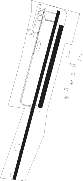
Offenburg
Airport details
| Country | Germany |
| State | Baden-Württemberg |
| Region | ED |
| Airspace | Langen Ctr |
| Municipality | Offenburg |
| Elevation | 507ft (155m) |
| Timezone | GMT +1 |
| Coordinates | 48.44983, 7.92467 |
| Magnetic var | |
| Type | land |
| Available since | X-Plane v10.40 |
| ICAO code | EDTO |
| IATA code | n/a |
| FAA code | n/a |
Communication
| Offenburg Offenburg Info | 132.040 |
Nearby Points of Interest:
Herberge zum Löwen
-Cité-jardin du Stockfeld
-Couvent Saint-Trophime d'Eschau
-Propriété Schranz
-Krimmeri signal box
-Citadelle de Strasbourg
-maison Bowe
-Ancienne usine Junkers (Strasbourg)
-Maison au 46, route de Lyon à Fegersheim
-Maison au 23, rue de Lyon à Fegersheim
-enceinte de Strasbourg
-Hôpital militaire Gaujot
-Maison au 2, rue de l'Abreuvoir à Strasbourg
-Ancien magasin Neunreiter
-Maison aux 6, place Saint-Nicolas-aux-Ondes et 6, rue des Balayeurs à Strasbourg
-Maison au 6, rue du Renard-Prêchant à Strasbourg
-Hôtel Brion
-Maison au 8, rue des Poules à Strasbourg
-Manufacture des Tabacs de Strasbourg
-Tour-porte de l'Hôpital civil de Strasbourg
-Maison au 8, rue d'Austerlitz à Strasbourg
-Maison, 5 rue d'Austerlitz, Strasbourg
-Maison au 5, rue des Bouchers à Strasbourg
-Ancien hôtel Hammerer
-Maison au 20, rue des Bouchers à Strasbourg

Nearby beacons
| code | identifier | dist | bearing | frequency |
|---|---|---|---|---|
| LRD | DME | 6.4 | 229° | 108.05 |
| LHR | LAHR NDB | 7.5 | 228° | 337 |
| SE | STRASBOURG NDB | 11.8 | 304° | 412 |
| STR | STRASBOURG ENTZHEIM VOR/DME | 14.4 | 279° | 115.60 |
| KBD | DME | 20.8 | 26° | 115.80 |
| KBA | KARLSRUHE/BADEN-BADEN NDB | 22 | 26° | 431 |
| SAV | SAVERNE VOR/DME | 28.1 | 306° | 110.45 |
| SUL | SULZ VOR | 28.9 | 95° | 116.10 |
| HO | COLMAR-HOUSSEN NDB | 29.2 | 240° | 380 |
| PHG | PHALSBOURG NDB | 34.5 | 294° | 424 |
| KRH | KARLSRUHE VOR/DME | 41.7 | 51° | 115.95 |
| TRA | DME | 50 | 146° | 114.30 |
| BN | BASLE-MULHOUSE NDB | 50.6 | 209° | 353 |
| ZWN | ZWEIBRUECKEN VOR/DME | 50.9 | 327° | 114.80 |
| BLM | BASLE-MULHOUSE VOR/DME | 51.9 | 207° | 117.45 |
| SR | ENSHEIM (SAARBRUECKEN) NDB | 53.8 | 317° | 360 |
| BS | BASLE-MULHOUSE NDB | 54.5 | 204° | 376 |
| SAD | DME | 55.8 | 313° | 116.75 |
| HOC | DME | 59.9 | 195° | 113.20 |
| RMS | RAMSTEIN TACAN | 60.6 | 341° | 113.40 |
| NKR | NECKAR NDB | 62 | 42° | 292 |
| ZUE | ZURICH EAST VOR/DME | 62.7 | 134° | 110.05 |
| KLO | KLOTEN (ZURICH) VOR/DME | 64.6 | 148° | 114.85 |
Disclaimer
The information on this website is not for real aviation. Use this data with the X-Plane flight simulator only! Data taken with kind consent from X-Plane 12 source code and data files. Content is subject to change without notice.