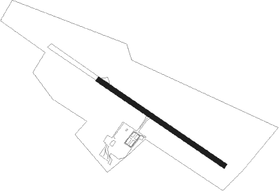
Bad Saulgau
Airport details
| Country | Germany |
| State | Baden-Württemberg |
| Region | ED |
| Airspace | Langen Ctr |
| Municipality | Bad Saulgau |
| Elevation | 1901ft (579m) |
| Timezone | GMT +1 |
| Coordinates | 48.02927, 9.50587 |
| Magnetic var | |
| Type | land |
| Available since | X-Plane v10.45 |
| ICAO code | EDTU |
| IATA code | n/a |
| FAA code | n/a |
Communication
| Bad Saulgau Saulgau Info | 123.600 |
Nearby beacons
| code | identifier | dist | bearing | frequency |
|---|---|---|---|---|
| LUP | LAUPHEIM NDB | 19.8 | 65° | 407 |
| FHD | DME | 21.7 | 180° | 112.60 |
| ALD | (MEMMINGEN/ALLGAU) DME | 29.2 | 93° | 117.20 |
| ALG | ALLGAEU (MEMMINGEN) NDB | 30.4 | 92° | 341 |
| TGO | TANGO TACAN | 36.7 | 337° | 112.50 |
| KPT | KEMPTEN VOR/DME | 38 | 109° | 108.40 |
| ZUE | ZURICH EAST VOR/DME | 38.2 | 238° | 110.05 |
| SUL | SULZ VOR | 40.4 | 292° | 116.10 |
| SGD | DME | 41.1 | 337° | 115.45 |
| STG | STUTTGART VOR/DME | 41.2 | 340° | 116.85 |
| KLO | KLOTEN (ZURICH) VOR/DME | 51.8 | 239° | 114.85 |
| LBU | LUBURG VOR/DME | 53.4 | 349° | 109.20 |
| KRH | KARLSRUHE VOR/DME | 68.5 | 316° | 115.95 |
Disclaimer
The information on this website is not for real aviation. Use this data with the X-Plane flight simulator only! Data taken with kind consent from X-Plane 12 source code and data files. Content is subject to change without notice.
