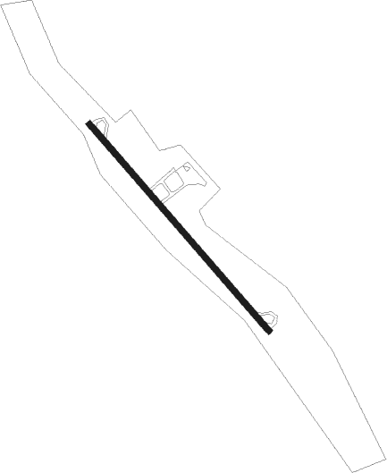
Schramberg - Winzeln-schramberg
Airport details
| Country | Germany |
| State | Baden-Württemberg |
| Region | ED |
| Airspace | Langen Ctr |
| Municipality | Fluorn-Winzeln |
| Elevation | 2309ft (704m) |
| Timezone | GMT +1 |
| Coordinates | 48.27917, 8.42833 |
| Magnetic var | |
| Type | land |
| Available since | X-Plane v10.40 |
| ICAO code | EDTW |
| IATA code | n/a |
| FAA code | n/a |
Communication
| Winzeln-Schramberg Winzeln Info | 123.650 |
Nearby Points of Interest:
Stadtkirche Schramberg
-Villa Junghans
-Bahnwärterhaus Seelenwald
-Städtische Turnhalle Rottweil
-Amtsgericht und Landgericht Rottweil
-Amtsgericht Rottweil
-Landesberufsschule für das Hotel- und Gaststättengewerbe
-Villa Schlenker
-Schwedenschanze
-Category:St Anna Church (Haigerloch)
-Gasthaus Rössle (Trillfingen)
-Viehmarktplatz 8
-Spital (Balingen)
-Stadtkirche Balingen
-Marktbrunnen (Balingen)
-Stadtbefestigung Balingen
-Friedhofkirche Balingen
-Herberge zum Löwen
-Urgraben
-Denkmal für die Gefallenen des Ersten Weltkriegs
-Wasserkraftwerk Nagold
-St. Ulrich (Thanheim)
-Aufbaugymnasium Nagold
-Unsere liebe Frau vom Berge Karmel
-St. Märgen's Abbey
Nearby beacons
| code | identifier | dist | bearing | frequency |
|---|---|---|---|---|
| SUL | SULZ VOR | 10.6 | 65° | 116.10 |
| LRD | DME | 24.5 | 278° | 108.05 |
| LHR | LAHR NDB | 25 | 276° | 337 |
| KBD | DME | 32.9 | 326° | 115.80 |
| KBA | KARLSRUHE/BADEN-BADEN NDB | 33.8 | 327° | 431 |
| SE | STRASBOURG NDB | 33.9 | 293° | 412 |
| TRA | DME | 35.4 | 179° | 114.30 |
| STR | STRASBOURG ENTZHEIM VOR/DME | 36.7 | 285° | 115.60 |
| TGO | TANGO TACAN | 38.8 | 68° | 112.50 |
| SGD | DME | 40 | 63° | 115.45 |
| STG | STUTTGART VOR/DME | 41.4 | 63° | 116.85 |
| KRH | KARLSRUHE VOR/DME | 43.3 | 12° | 115.95 |
| ZUE | ZURICH EAST VOR/DME | 44.1 | 150° | 110.05 |
| KLO | KLOTEN (ZURICH) VOR/DME | 49.5 | 172° | 114.85 |
| SAV | SAVERNE VOR/DME | 49.8 | 298° | 110.45 |
| LBU | LUBURG VOR/DME | 52.5 | 55° | 109.20 |
| BN | BASLE-MULHOUSE NDB | 53.2 | 237° | 353 |
| BLM | BASLE-MULHOUSE VOR/DME | 53.8 | 235° | 117.45 |
| BS | BASLE-MULHOUSE NDB | 55.2 | 232° | 376 |
| HOC | DME | 57.6 | 223° | 113.20 |
Disclaimer
The information on this website is not for real aviation. Use this data with the X-Plane flight simulator only! Data taken with kind consent from X-Plane 12 source code and data files. Content is subject to change without notice.