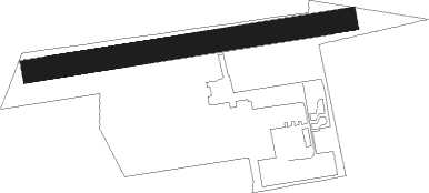
Schwäbisch Hall - Weckrieden
Airport details
| Country | Germany |
| State | Baden-Württemberg |
| Region | ED |
| Airspace | Langen Ctr |
| Municipality | Schwäbisch Hall |
| Elevation | 1298ft (396m) |
| Timezone | GMT +1 |
| Coordinates | 49.12433, 9.78167 |
| Magnetic var | |
| Type | land |
| Available since | X-Plane v10.40 |
| ICAO code | EDTX |
| IATA code | n/a |
| FAA code | n/a |
Communication
| Weckrieden Schwäbisch Hall Info | 129.230 |
Nearby beacons
| code | identifier | dist | bearing | frequency |
|---|---|---|---|---|
| SHD | HALL DME | 0.4 | 204° | 108.05 |
| NDD | DME-ILS | 17.6 | 34° | 108.70 |
| NSN | NIEDERSTETTEN NDB | 17.7 | 34° | 311 |
| DKB | DINKELSBUEHL VORTAC | 17.9 | 88° | 117.80 |
| LBU | LUBURG VOR/DME | 21.5 | 244° | 109.20 |
| ILM | ILLESHEIM NDB | 31.6 | 60° | 488 |
| STG | STUTTGART VOR/DME | 33 | 231° | 116.85 |
| SGD | DME | 34.2 | 232° | 115.45 |
| ANS | ANSBACH NDB | 35.1 | 78° | 452 |
| TGO | TANGO TACAN | 36.7 | 226° | 112.50 |
| LUP | LAUPHEIM NDB | 54.6 | 172° | 407 |
| CHA | CHARLIE VOR/DME | 55.9 | 317° | 115.35 |
Disclaimer
The information on this website is not for real aviation. Use this data with the X-Plane flight simulator only! Data taken with kind consent from X-Plane 12 source code and data files. Content is subject to change without notice.
