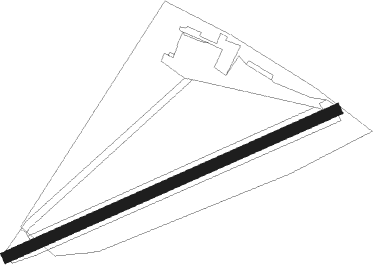
Salzgitter - Salzgitter-druette
Airport details
| Country | Germany |
| State | Lower Saxony |
| Region | ED |
| Airspace | Bremen Ctr |
| Municipality | Salzgitter |
| Elevation | 328ft (100m) |
| Timezone | GMT +1 |
| Coordinates | 52.15417, 10.42650 |
| Magnetic var | |
| Type | land |
| Available since | X-Plane v10.40 |
| ICAO code | EDVS |
| IATA code | n/a |
| FAA code | n/a |
Communication
| Salzgitter-Druette Salzgitter Info | 122.855 |
Nearby beacons
| code | identifier | dist | bearing | frequency |
|---|---|---|---|---|
| BRU | BRAUNSCHWEIG-WOLFSBURG NDB | 12 | 47° | 427 |
| HLZ | HEHLINGEN VOR/DME | 18.4 | 60° | 117.30 |
| SAS | SARSTEDT VOR/DME | 20.7 | 280° | 114.45 |
| DLE | LEINE VOR/DME | 20.8 | 280° | 115.20 |
| HA | HANNOVER NDB | 29.4 | 297° | 320 |
| CEL | CELLE NDB | 29.9 | 318° | 311 |
| HAD | DME | 32.8 | 293° | 113.95 |
| HBD | DME | 33.4 | 291° | 116.90 |
| HW | HANNOVER NDB | 37.4 | 290° | 358 |
| WUN | WUNSTORF TACAN | 40.8 | 287° | 114.85 |
| FSB | FASSBERG NDB | 46.5 | 343° | 284 |
Disclaimer
The information on this website is not for real aviation. Use this data with the X-Plane flight simulator only! Data taken with kind consent from X-Plane 12 source code and data files. Content is subject to change without notice.
