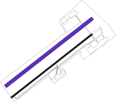
Bad Oeynhausen - Porta Westfalica
Airport details
| Country | Germany |
| State | North Rhine-Westphalia |
| Region | ED |
| Airspace | Bremen Ctr |
| Municipality | Porta Westfalica |
| Elevation | 145ft (44m) |
| Timezone | GMT +1 |
| Coordinates | 52.22217, 8.86283 |
| Magnetic var | |
| Type | land |
| Available since | X-Plane v10.40 |
| ICAO code | EDVY |
| IATA code | n/a |
| FAA code | n/a |
Communication
| Porta Westfalica Porta Info | 130.640 |
Nearby beacons
| code | identifier | dist | bearing | frequency |
|---|---|---|---|---|
| BYC | BUECKEBURG NDB | 9.3 | 73° | 368 |
| OSB | OSNABRUCK TACAN | 21.2 | 268° | 108.35 |
| OSN | OSNABRUECK VOR | 21.2 | 268° | 114.30 |
| WUN | WUNSTORF TACAN | 25 | 68° | 114.85 |
| DP | DIEPHOLZ NDB | 26.7 | 312° | 325 |
| HW | HANNOVER NDB | 29.1 | 70° | 358 |
| NIE | NIENBURG VOR | 30.5 | 52° | 116.50 |
| HBD | DME | 32.4 | 74° | 116.90 |
| HAD | DME | 33.9 | 74° | 113.95 |
| PAD | PADERBORN-LIPPSTADT NDB | 36.8 | 200° | 354 |
| HA | HANNOVER NDB | 37.5 | 76° | 320 |
| PAD | DME-ILS | 37.8 | 202° | 108.50 |
| WRB | WARBURG VOR/DME | 44 | 161° | 113.70 |
| BND | DME | 49.4 | 354° | 113.65 |
| BMN | BREMEN VOR/DME | 49.6 | 353° | 117.45 |
| HIG | BREMEN NDB | 49.7 | 3° | 318 |
| DKS | DME-ILS | 52.1 | 146° | 111.50 |
Disclaimer
The information on this website is not for real aviation. Use this data with the X-Plane flight simulator only! Data taken with kind consent from X-Plane 12 source code and data files. Content is subject to change without notice.

