Oldenburg - Oldenburg Hatten
Airport details
| Country | Germany |
| State | Lower Saxony |
| Region | ED |
| Airspace | Bremen Ctr |
| Municipality | Hatten |
| Elevation | 24ft (7m) |
| Timezone | GMT +1 |
| Coordinates | 53.06900, 8.31350 |
| Magnetic var | |
| Type | land |
| Available since | X-Plane v10.40 |
| ICAO code | EDWH |
| IATA code | n/a |
| FAA code | n/a |
Communication
| Oldenburg Hatten Oldenburg Info | 118.175 |
Nearby Points of Interest:
St. Jakobikirche
-Marienkirche Warfleth
-Visbeker Braut und Bräutigam
-Kirche Farge
-Haus Kapitän Dallmann
-Rathaus Blumenthal
-Wätjens Schloss
-Amtsgericht Bremen-Blumenthal
-Werkswohnanlage des Bremer Vulkan
-Brunnensäule Fröbelstraße
-Ulrichssches Wohnhaus
-Werkswohnhaus Weserstraße 69
-Haus Buermeyer
-Villa Schröder
-Boots- und Vereinshaus des Vegesacker Rudervereins
-Bäckerei Harbers
-Villa Bischoff
-Villa Steinbrügge
-Havenhaus
-Spicarium
-Spiegelhof
-Wohnhausgruppe Reeder-Bischoff-Straße 16
-Haus Bosmann
-Haus Neu-Grohneck
-Turmruine
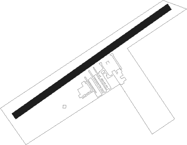
Runway info
| Runway 6 / 24 | ||
| length | 820m (2690ft) | |
| bearing | 70° / 250° | |
| width | 30m (98ft) | |
| surface | grass | |
Nearby beacons
| code | identifier | dist | bearing | frequency |
|---|---|---|---|---|
| BMN | BREMEN VOR/DME | 16.1 | 93° | 117.45 |
| BND | DME | 16.9 | 93° | 113.65 |
| HIG | BREMEN NDB | 21.5 | 92° | 318 |
| WSN | WESER NDB | 26.2 | 64° | 378 |
| DP | DIEPHOLZ NDB | 29.1 | 164° | 325 |
| WTM | WITTMUNDHAFEN TACAN | 35.9 | 310° | 113.50 |
| NDO | NORDHOLZ TACAN | 43.7 | 26° | 117.10 |
| NDO | NORDHOLZ NDB | 46.4 | 35° | 372 |
| OSB | OSNABRUCK TACAN | 52.1 | 182° | 108.35 |
| OSN | OSNABRUECK VOR | 52.1 | 182° | 114.30 |
| BYC | BUECKEBURG NDB | 54.6 | 135° | 368 |
| MYN | MUENSTER/OSNABRUECK NDB | 57.7 | 209° | 371 |
| MOD | DME | 60.4 | 214° | 114.05 |
Disclaimer
The information on this website is not for real aviation. Use this data with the X-Plane flight simulator only! Data taken with kind consent from X-Plane 12 source code and data files. Content is subject to change without notice.